

The defense logistics market hit an estimated $68.31 billion in 2025 and is projected to nearly double by 2035. Meanwhile, the DoD’s 2026 financial audit still carries 20 material weaknesses, including weak IT controls. That contrast tells you everything about military asset tracking: the problem is not a shortage of hardware, budget, or ambition. It’s the gap between deploying sensors and actually trusting what those sensors report.
I’ve spent 15+ years building IoT tracking systems across aviation, freight, and port logistics. The patterns I see in commercial asset management (bad master data, disconnected systems, confusion between shipment tracking and asset tracking) exist in defense at far higher stakes. A lost reusable container costs money. A lost weapon costs careers, or lives.
This is a ground-level look at what military asset tracking actually involves, where the technology stands, and where the real failures happen.
Military Asset Tracking Is Five Problems, Not One
When someone searches “military asset tracking,” they could mean any of five things. Each one requires different sensors, different networks, and different data models. Conflating them is the most common (and most expensive) mistake in defense procurement.
| Problem | What it answers | Core technology | Example |
|---|---|---|---|
| Item identity and custody | Which specific item, who has it, what’s its history | UII, barcode, passive RFID, IUID Registry | Serialized weapon issued to a unit |
| In-transit visibility | Where is the shipment between origin and destination | Active RFID, GPS transponders, satellite | Ammunition container moving from depot to theater |
| Friendly-force location | Where are our people and platforms right now | Blue Force Tracking (JBC-P), tactical radios | Vehicle convoy in an active operation |
| Platform health and condition | Is this asset ready, and when does it need maintenance | Embedded sensors, telemetry, predictive analytics | Helicopter engine approaching cycle limit |
| Positioning, navigation, and timing | Can we trust our coordinates under interference | Multi-constellation GNSS, inertial, alt-PNT | Navigation in a GPS-jammed environment |
The DoD’s own framework reflects this layering. Item Unique Identification (IUID) assigns machine-readable identifiers to discrete items so they can be distinguished from every other item in the inventory. That’s identity. Separately, JBC-P provides friendly-force location and messaging across echelons. That’s tactical tracking. They are not the same system, and they should not be evaluated on the same scorecard.
Before choosing a vendor, specify which of these five problems you’re solving. A barcode scanner and a satellite transponder are both “asset tracking.” They solve nothing in common.
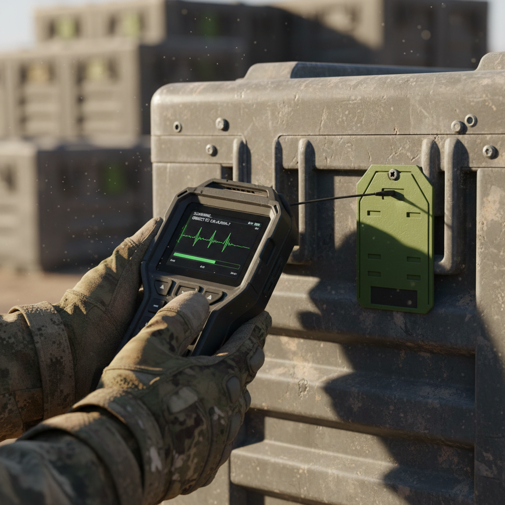
Identity Before Location
In commercial logistics, I constantly see companies buy GPS trackers before they’ve cleaned their asset register. They end up with real-time dots on a map representing items they can’t positively identify. Defense has the same disease at a larger scale.
The IUID system exists precisely to fix this. DoD requires unique-item traceability for sensitive or pilferable items, critical safety items, nuclear-related material, and depot-level reparables. The IUID Registry serves as the authoritative source for acquisition cost and pedigree data. MIL-STD-130 defines marking requirements. MIL-STD-129 covers shipment and storage marking.
These standards exist because identity is the foundation layer. Without it, a GPS ping is just coordinates with no context, and an RFID read is a serial number with no pedigree.
The F-35’s Autonomic Logistics Information System (ALIS) is the cautionary tale here. GAO found that critical ALIS data was often inaccurate or missing, forcing maintainers to manually collect and track information that the system should have provided. An expensive digital logistics platform produced less value than a clipboard because the data feeding it was incomplete. The system was eventually replaced, but the lesson is permanent: no amount of sensor hardware compensates for bad master data.
RFID, GPS, and Satellite: Honest Trade-Offs
Every technology in military asset tracking excels somewhere and fails somewhere else. The honest comparison looks like this:
| Technology | Best for | Limitation | Deployed evidence |
|---|---|---|---|
| Passive RFID / barcode | Depots, armories, custody handoffs, portals | No location between readers; no power means no autonomous reporting | Core to IUID compliance across DoD |
| Active RFID | In-transit visibility, container and pallet tracking across logistics corridors | Reader infrastructure required; battery life; metal interference | Over 1 million active tags deployed across DoD logistics under the RFID-IV contract |
| GPS / cellular telematics | Vehicle fleets, convoys, ground equipment in permissive environments | No signal indoors, underground, under dense canopy, or under jamming; cellular dead zones | JBC-P integrated on more than 120,000 platforms |
| Satellite IoT | Remote land, ocean, polar, or expeditionary logistics with no cellular | Higher latency, lower bandwidth, antenna view requirements, airtime cost | DoD’s NGT-II requirement names satellite and hybrid transponders |
| RTLS (ultra-wideband, etc.) | High-security indoor facilities needing centimeter-level precision | Infrastructure-heavy; limited to the instrumented zone | Armory and weapons-vault applications |
The right answer is almost always a combination. A depot uses RFID portals to capture custody events. Satellite transponders report position every few hours while a container crosses the ocean. A tactical radio provides near-real-time location for vehicles in theater. The architecture challenge is linking these event streams into one coherent record.
Savi’s scale illustrates both the power and the limits of instrumentation. A million-plus deployed tags is serious coverage. But GAO found in its review that DoD had not achieved total asset visibility over spare and repair parts and lacked visibility and control over items moving between locations. Instrumentation does not automatically create a reliable enterprise record. It creates raw data that needs governance, integration, and reconciliation.
GPS Denial Is No Longer Hypothetical
This is where military tracking diverges sharply from commercial applications. In freight logistics, GPS is treated as always-on. In contested environments, it’s a vulnerability.
EASA and IATA reported that GPS signal-loss events increased 220% between 2021 and 2024. These are civilian aviation incidents, not battlefield scenarios. The military picture is worse. The 2024 DoD China report confirms the PRC has developed mobile jammers capable of denying SATCOM and GPS and has launched multiple anti-satellite missiles.
A CSIS analysis describes electronic jamming and spoofing of space-derived services as producing direct military effects. This is not a future threat. It is a present operating condition in multiple theaters.
For tracking systems, the implication is concrete. Any architecture that treats GPS coordinates as ground truth will fail when it matters most. Resilient PNT designs use layered approaches: authenticated GNSS, inertial dead-reckoning, terrain references, timing sources, and radio-frequency detection. A tracking system should report source, confidence, age, and integrity for every position fix. Displaying every coordinate as equally trustworthy is a design flaw, not a feature.
DLA has also prohibited the use of geolocation features on personal and government-issued devices in deployed operational areas. The reason is straightforward: a continuously reporting tracker can reveal force disposition, logistics routes, and operational patterns to an adversary. More visibility can create more risk if emissions, access controls, and data retention are not designed together.
The Architecture That Survives Contested Environments
The direction is clear in DoD procurement signals. The Next Generation Transponder II (NGT-II) requirement explicitly names cellular, satellite, and cellular/satellite hybrid transponders for worldwide asset tracking. Iridium announced NTN Direct, a 3GPP standards-based NB-IoT direct-to-device satellite service targeting 2026. The Army’s 2025 framework describes a data-driven ecosystem for predictive logistics in contested environments.
The common thread is federation. Not one monolithic system, but an architecture with these properties:
- Multi-bearer transport. The tracker chooses cellular when available and satellite when it’s not. If both are denied, it stores events locally and forwards them when connectivity returns.
- Edge autonomy. Local nodes continue operating disconnected. A depot, a convoy, or a forward operating base maintains its own auditable event log. Synchronization happens later.
- Authoritative identity. The IUID-linked master record remains the single source of truth for what the asset is, regardless of which sensor last reported its location.
- Confidence scoring. Every position report carries metadata: source (GNSS, inertial, manual), age, accuracy estimate, integrity flag. Stale or uncertain data is visible, not hidden.
- Emission discipline. The system can reduce, schedule, or suppress transmissions based on threat posture. A tracker that cannot be silenced is a tracker that can be used against you.
NATO requires logistics information to be visible, transparent, timely, accurate, and relevant to commander decisions. Those five adjectives contain an implicit contradiction in contested scenarios: visible to the commander but not to the adversary, timely but not at the cost of operational security. The architecture must resolve that tension, not ignore it.
What Real Programs Teach Us
Three programs illustrate the spectrum from success to failure.
JBC-P (success in tactical tracking). The Joint Battle Command Platform evolved from FBCB2/Blue Force Tracking to track friendly forces, exchange messages, and reduce fratricide. It added handheld support through Nett Warrior, integrated dismounted-force location through Rifleman Radio, and used common data models across echelons. With integration on over 120,000 platforms, JBC-P proved that tactical asset tracking is fundamentally a life-safety function. The useful output is not coordinates; it’s a shared, time-bounded operational picture.
Savi RFID (success in logistics corridors). More than one million active RFID tags deployed across DoD logistics, with a $102 million RFID-IV contract ceiling. This is the model for custody and in-transit events at scale: standardized tags, instrumented chokepoints, repeatable event capture. Its limit is equally instructive. Tags that aren’t scanned, portals that aren’t maintained, and interfaces that aren’t reconciled produce incomplete records regardless of deployment volume.
F-35 ALIS (failure of data quality). An ambitious system designed to turn maintenance data into operational decisions. In practice, inaccurate and missing data forced maintainers back to manual methods. The lesson is universal: an expensive digital platform that cannot trust its inputs will underperform a simple manual process. Before adding AI or predictive analytics, measure data completeness, event latency, false alerts, and manual workarounds.
The pattern is consistent. Programs succeed when they prioritize data integrity and workflow fit over dashboard sophistication. They fail when they assume that connecting a sensor automatically creates a reliable record. This is exactly why smart asset monitoring hinges on trustworthy data rather than sensor volume alone.
From Military Principles to Your Asset Pool
The principles above are not exclusive to defense. Every organization tracking high-value reusable assets faces the same layered problem of asset monitoring and control: identity, custody, location, condition, and the question of what happens after delivery.
In commercial aviation, freight, and ground support, we see the same confusion between shipment tracking (the job ends at delivery) and asset tracking (the job follows the asset through its full cycle: return, dwell, reuse, maintenance, retirement). Military programs just face it under higher stakes and harder conditions, and the same discipline extends into related domains like carbon accounting. Ground support equipment like aircraft towbars exemplifies this challenge—once dispatched, they often become invisible until someone reports one missing.
If your container pool, ULD fleet, or ground support equipment becomes invisible once it leaves your facility, that’s the same visibility gap the DoD has spent decades and billions trying to close. The technology exists now to solve it at commercial scale, without the complexity of military accreditation.
That’s the work we do at Datanet. If your asset tracking ends at delivery and you need it to cover the full cycle, let’s talk.

Frequently Asked Questions
What is military asset tracking?
It is the use of identifiers, sensors, communications, and software to establish an asset’s identity, custody, location, condition, or mission affiliation. It spans passive RFID tags in depots to satellite transponders on containers to Blue Force Tracking on tactical vehicles. The term covers at least five distinct problems, and the right solution depends entirely on which one you’re solving.
Why can’t GPS alone solve military tracking?
GPS provides a position estimate, not an identity, a custody record, or a verified report. It can be jammed, spoofed, or denied. GPS signal-loss events increased 220% between 2021 and 2024 in civilian aviation alone. Military environments face deliberate electronic warfare. Any system relying solely on GPS will fail under contested conditions.
When is RFID better than GPS for defense logistics?
RFID excels in controlled environments: depots, warehouses, armories, portals, and shipment handoffs. It captures custody events quickly without equipping every item with a power-hungry wide-area modem. GPS is better for outdoor movement across distance. Most military programs need both, linked through a common identity layer like IUID.
What is the IUID system?
Item Unique Identification is DoD’s framework for assigning machine-readable identifiers to discrete items. The IUID Registry is the authoritative source for acquisition cost and pedigree data. It covers sensitive items, critical safety items, nuclear-related material, and depot-level reparables. It is the identity foundation on which location tracking depends.
Can asset trackers work without cellular coverage?
Yes, through satellite IoT, hybrid cellular/satellite transponders, or store-and-forward designs that hold events locally and transmit when connectivity returns. DoD’s Next Generation Transponder II requirement explicitly names satellite and hybrid options for worldwide tracking. The key design criterion is bearer independence: the tracker should choose the available network, not require one specific one.
What was the main lesson from the F-35 ALIS failure?
Bad master data defeats good hardware. ALIS was designed to automate maintenance logistics for the F-35, but inaccurate and missing data forced maintainers back to manual tracking. The lesson applies to any asset tracking program: measure data completeness and workflow fit before investing in dashboards or predictive analytics.









 +1 508 292 2210

2 Responses