

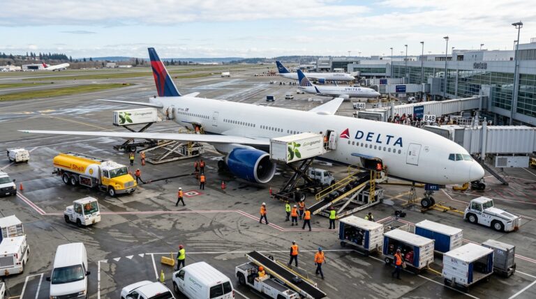
IATA counted more than 29,000 aircraft ground-damage events in 2025. That same year, airports worldwide handled 9.8 billion passengers and 131.2 million tonnes of cargo. More traffic, tighter turnarounds, and ground equipment that often becomes invisible the moment it leaves a staging point.
Airport telematics is supposed to fix that. Connected devices on tugs, belt loaders, pushbacks, and baggage carts feed location and usage data into operational dashboards. The promise: see your equipment, understand utilization, make better decisions.
The gap between that promise and operational reality is where money, time, and safety margin disappear. A GPS dot on a screen is not a maintenance trigger. A vehicle’s last-known position doesn’t prove it’s charged, maintained, or ready for the next turn. And your fleet management dashboard is not what controllers see on their surface display.
What Airport Telematics Actually Covers
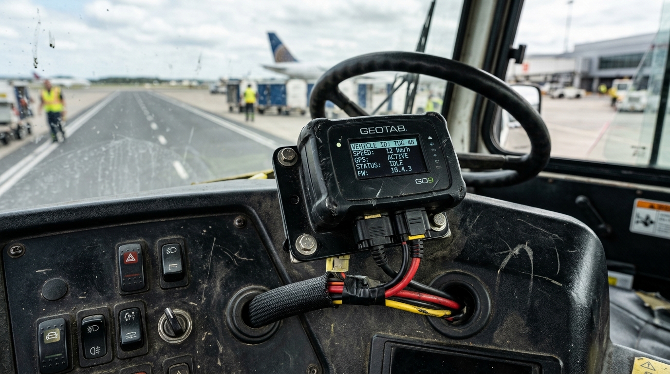
Airport telematics is the use of connected hardware and software to monitor ground vehicles and equipment: their location, usage, condition, and operators. Its core domain is ground support equipment (GSE), but it extends to airport buses, maintenance vehicles, emergency fleets, and nonpowered assets like baggage dollies and ULD carts.
What it does not cover: aircraft flight telemetry, air traffic control surveillance, passenger flow analytics, or baggage identification. These adjacent technologies share connectivity infrastructure but serve entirely different operational decisions.
A practical airport telematics stack operates in four layers:
| Layer | What it does on the ramp | The question it answers |
|---|---|---|
| Vehicle instrumentation | Reads engine hours, faults, fuel or charge level, operating states, operator identity (CAN bus, OBD, RFID) | Who is operating what, and in what condition? |
| Positioning | Satellite GNSS outdoors; BLE beacons, geozones, or UWB indoors | Where is the asset right now? |
| Communications | Cellular, low-power networks, or Wi-Fi transmit data to a cloud or on-premise platform | How current is the data, and what happens during a coverage gap? |
| Workflow integration | Maintenance triggers, dispatch optimization, alerts, access authorization, speed controls | What should happen next, and who acts on it? |
The split between powered and nonpowered GSE changes the economics of every layer. A motorized tug provides CAN bus data and electrical power for a tracking device. A baggage dolly or ULD cart has neither. Self-contained trackers with multi-year battery life (devices like the Oyster3 or Oyster Edge are designed for exactly this) solve the power problem. But their reporting intervals and indoor coverage constraints shape what “visibility” actually means for those assets.
The most common misconception I encounter with airport operations teams: they treat “we track our GSE” and “we have operational visibility” as the same statement. They are not. Tracking tells you where something is. Visibility tells you whether it’s available, charged, maintained, and assigned to the right turn.
The Cost of a Ramp You Can’t See
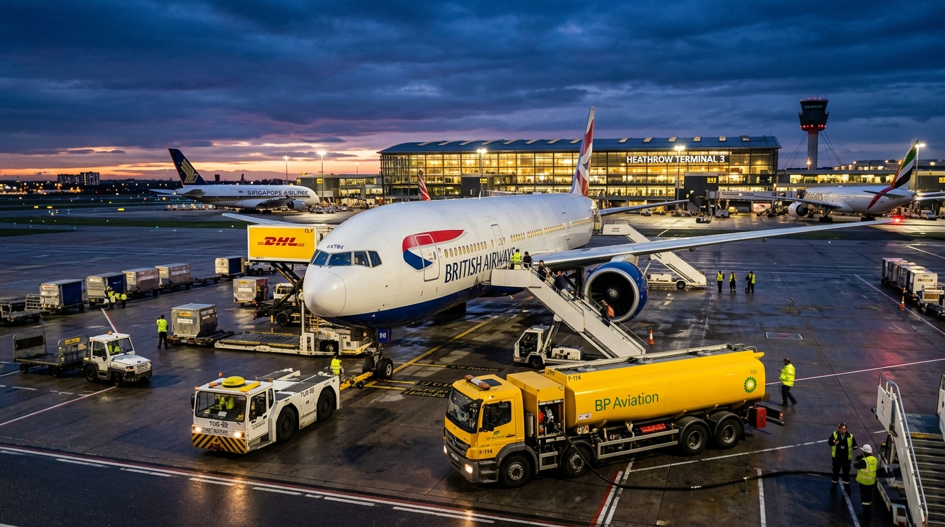
Ground damage is the most visible cost of poor ramp awareness. IATA’s 2026 report documented those 29,000-plus events and pushed the industry toward enhanced GSE with proximity-warning systems, stronger standards enforcement, and digitalized loading processes.
Dallas Fort Worth International Airport provides one of the most transparent telematics case studies in the industry. DFW deployed connected devices across more than 400 vehicles, spanning maintenance, public safety, passenger buses, rental-car shuttles, and emergency services. The results: fleet damage costs dropped from $202,102 to $101,971. Seatbelt violations fell 87%. Harsh braking events dropped 91%.
The detail that matters most: GPS tracking alone didn’t produce those numbers. DFW started with a 25-vehicle, five-department monitoring-only pilot. Then came formal policies. Then alerts, coaching, and driver incentives. The sensors created visibility. The operating program, built around that visibility, created behavior change.
And ground damage is only the visible line item. There’s also the invisible cost of search time and turnaround delay. A pushback tug that takes eight minutes to locate instead of two doesn’t just waste a driver’s time. It delays pushback, which delays taxi, which delays departure. Across a hub running hundreds of daily movements, those minutes compound into schedule degradation and downstream passenger disruption.
This pattern holds across asset tracking programs in every industry I work in. Hardware captures data. ROI comes from the process that data feeds. An airport that installs trackers without redesigning maintenance schedules, driver protocols, or dispatch logic has purchased expensive dots on a map.
Fleet Tracking and Runway Safety Are Different Systems
One of the most dangerous conflations in airport ground operations: treating a commercial fleet management screen as a surface safety system.
The FAA’s guidance on Vehicle Movement Area Transponders (VMATs) makes the distinction explicit. VMATs broadcast vehicle position and identity into compatible surveillance systems like ASDE-X and ASSC, currently covering 44 busy U.S. airports. The Surface Awareness Initiative targets 220 airports through 2028.
The critical point: at SAI-equipped airports, a vehicle without a VMAT does not appear on the tower’s surface display. Your fleet map shows you where your tug is. It does not show the controller. These are separate systems solving separate problems, and conflating them creates a false sense of safety.
A case from Newark Liberty illustrates how even the periphery of vehicle tracking intersects with navigation safety. In 2012, a vehicle operator used a GPS jammer to avoid employer monitoring. The jammer disrupted a ground-based augmentation system supporting precision approaches at the airport. The FCC proposed a $31,875 forfeiture.
The broader takeaway is about system interdependence. GPS-dependent fleet tracking operates in the same electromagnetic environment as navigation infrastructure. The Aviation Cyber Initiative recommends inventorying all GPS-dependent systems, maintaining full-capability backups, and running disruption exercises—principles detailed in guidance on how to secure IoT solutions for critical infrastructure. Resilience belongs in the procurement specification, not as an afterthought after go-live.
Electric GSE Rewrites the Tracking Problem
Diesel equipment needs fuel level and engine hours from telematics. Electric equipment needs state of charge, charging station availability, and projected range for the next assignment. The shift to electric GSE doesn’t just change what you track. It changes why tracking is operationally load-bearing.
JFK is running two parallel experiments in shared electric fleets. Terminal 6 announced a common-use electric fleet managed by Fortbrand Services in September 2025, projecting the elimination of approximately 2,500 metric tons of CO2 annually. Separately, the New Terminal One named TCR for its centralized all-electric fleet in January 2025. Different terminals, different operators, same thesis: shared equipment demands shared visibility.
IATA estimates that electric GSE can lower turnaround emissions by 35% to 52%, depending on equipment mix and electricity source. That qualifier matters. An airport running on a coal-heavy grid captures far less environmental benefit than one powered by renewables.
Pooling also introduces what I call the efficiency-fragility tradeoff. Fewer total vehicles means higher utilization per unit. Higher utilization means tighter dependence on each vehicle being available, charged, and maintained at the right moment. The old model, where every handler owns their own fleet with most of it sitting idle, was wasteful but resilient. The pooled model is efficient but fragile without real-time charging and maintenance visibility.
If you can’t answer “Will that pushback have enough charge for the next three turns?” before the crew needs it, the shared fleet model breaks under peak-hour pressure.
From Connected Dots to Operational Decisions
Delta’s deployment across 1,400 GSE assets illustrates a concrete, measurable process change. Maintenance scheduling moved from a fixed six-month interval to every 500 operating hours. Vehicles that work harder get serviced sooner. Vehicles that sit idle don’t consume maintenance resources unnecessarily.
It sounds simple. It requires reliable hour-meter data, consistent operating-state tracking, and a maintenance management system that can act on those inputs. Without the data layer, usage-based maintenance is a policy document with no enforcement mechanism.
The next step up is resource optimization. Platforms that connect GSE location and turnaround milestones to real-time dispatch shift the operational question from “Where is the tug?” to “Which tug should service Flight 1247 at Gate B12 in 18 minutes?”
This is the dividing line between tracking and operational intelligence. A tracker observes. An optimizer recommends. But the optimizer is only as reliable as the inputs feeding it. If positioning goes stale, if operating states are inferred rather than measured, if flight schedule integration lags, the recommendation degrades.
In my experience, most airport telematics projects that stall on ROI have a data-quality problem, not a dashboard problem. They can see dots on a map. They can’t connect those dots to a workflow that changes an outcome. It’s the same gap I see across supply chain and logistics: tracking a shipment to delivery is one thing. Tracking an asset through its full cycle (return, dwell, maintenance, reuse) is where the operational value compounds. GSE is no different.
Autonomous GSE: What Changi and dnata Actually Proved
In January 2026, Changi Airport launched two fully driverless tractors transferring bags between Terminal 1 and Terminal 4. The deployment followed nearly a year of trials and more than 5,000 test trips. Each tractor carries over ten sensors and cameras. A control center monitors operations, and a remote operator can intervene at any point.
Changi plans six more tractors for a Terminal 2 route and a fleet of 24 by 2027. Those are expansion plans, not the current operational count.
Six months earlier, dnata deployed six electric TractEasy EZTow tractors at Dubai World Central. The AED 6 million investment (approximately $1.6M) placed vehicles on predefined routes, towing up to four ULDs at speeds up to 15 km/h.
Both cases share a pattern: bounded routes, supervised operation, explicit speed and load limits. Removing the onboard driver does not remove supervision or incident response. It shifts those responsibilities to a control center that depends entirely on reliable telemetry, continuous connectivity, and tested exception-handling protocols.
The strategic implication for ground handlers evaluating autonomy timelines: design your telematics architecture now to support autonomous operations when routes, regulations, and the business case align. That means reliable indoor and outdoor positioning, real-time equipment status, and fallback procedures that hold when connectivity drops.
Where Airport Telematics Projects Get Stuck
Four problems recur across deployments, regardless of vendor or airport size.
The first is indoor coverage. Satellite positioning works on open aprons. It disappears in hangars, baggage halls, and covered maintenance bays. Indoor alternatives (BLE beacons, geofenced zones, UWB) require physical installation, calibration, and ongoing maintenance. The “no infrastructure needed” promise of GPS-based tracking covers roughly half the operational area at most airports. Any proposal that doesn’t address indoor zones is leaving a significant blind spot.
The second is the economics of nonpowered equipment. Instrumenting a motorized tug is straightforward: tap into vehicle power, read CAN bus data, install in a defined location. A baggage dolly needs a self-contained tracker with years of battery life, a different mounting approach, and acceptance that reporting frequency will be lower. Per-unit hardware cost may drop, but deploying and managing thousands of nonpowered trackers creates its own complexity around logistics, asset registration, and battery lifecycle. This is where purpose-built long-life asset trackers earn their keep.
Third: worker trust and data governance. The Newark GPS jammer is an extreme case. The underlying tension is not. Operators who feel surveilled rather than supported will resist, find workarounds, or quietly undermine data quality. DFW’s phased approach (monitoring first, policies second, accountability features third) is a deployment principle, not a PR exercise. Define data access rules, retention limits, appeal procedures, and the stated purpose of tracking before activating driver-facing features.
Fourth, and nearly invisible in vendor literature: cybersecurity. Airport ramps are critical infrastructure. Telematics devices transmit location and operational data over cellular and Wi-Fi networks. GPS signals can be jammed or spoofed. The question “What happens to ramp operations when this system goes down?” should appear in every RFP. If the answer is “we haven’t tested that,” the system isn’t ready for a safety-critical environment. Building a secure end-to-end IoT solution from procurement through deployment addresses these vulnerabilities before they become operational risks.
Frequently Asked Questions
What is airport telematics?
Airport telematics uses connected devices and software to monitor ground vehicles and equipment at airports, covering location, usage, condition, and operator identity. It supports GSE management and ramp operations. It is not the same as aircraft flight telemetry or air traffic control surveillance.
Is GPS tracking sufficient for airport GSE management?
Rarely on its own. GPS provides outdoor positioning but fails indoors. A complete system typically adds vehicle diagnostics via CAN bus, operator identification through RFID, indoor positioning with BLE or UWB, and workflow integration. The coverage area and the decision you need to improve should drive technology selection.
Can telematics prevent aircraft ground damage?
It supports prevention but does not guarantee it. DFW nearly halved fleet damage costs by combining telematics with driver coaching, formal policies, and incentives. Enhanced GSE with proximity-warning technology adds an active prevention layer. A location dashboard on its own is not a collision-avoidance system.
How much does an airport telematics system cost?
No universal figure applies. Costs depend on fleet size, the powered-to-nonpowered equipment ratio, indoor coverage requirements, integration scope, and recurring connectivity fees. Request itemized quotes for hardware, installation, software, connectivity, training, and support. Build the ROI case around avoided damage, reduced search time, lower downtime, and eliminated unnecessary equipment purchases.
Will autonomous vehicles replace ground-handling workers?
Current deployments point to task redesign, not broad workforce elimination. Changi retains remote operators and ground workers for last-mile activities. dnata reassigns former tractor drivers to higher-complexity roles. Staffing impacts depend on route scope, regulatory environment, and the operating model.
Does electric GSE automatically deliver emissions savings?
Not automatically. IATA estimates a 35% to 52% reduction in turnaround emissions from electric GSE, but the actual benefit depends on the equipment mix and the airport’s electricity source. Pooled electric fleets also require telematics-managed charging schedules to maintain equipment availability during peak operations.
If your ground equipment disappears from view the moment it leaves a staging point, or your GSE data stops at location without feeding a maintenance trigger or dispatch decision, that’s the operational gap worth closing. We design end-to-end asset tracking architectures for airports, airlines, and ground handlers. Talk to our team or reach us at info@datanetiot.com.





 +1 508 292 2210

2 Responses