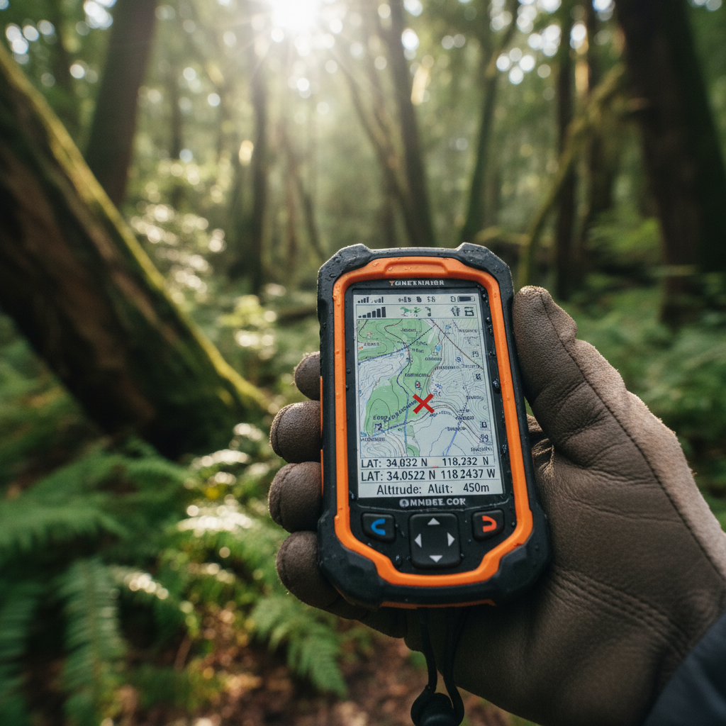
How accurate is geolocation? That depends entirely on which geolocation technology you are asking about. The answer spans six orders of magnitude: from 1 centimeter with survey-grade RTK to over 100 kilometers when IP geolocation guesses wrong about your city.
That is not a small nuance. It is the difference between a tracker pinpointing which warehouse shelf holds your container and a fraud detection system thinking your customer is in Chicago when she is in Milwaukee. I have spent the last 15 years deploying IoT tracking solutions across aviation, maritime, and industrial supply chains. The single most common mistake I see? Teams choosing a geolocation method based on specs that have nothing to do with their actual operating environment.
This article breaks down the real accuracy of every major geolocation technology in 2026, what degrades that accuracy in the field, and how to pick the right method for your use case.
The Geolocation Accuracy Spectrum: A Complete Comparison
Before we get into the details, here is the full picture. Every number below represents typical field performance, not best-case laboratory conditions.
| Technology | Typical Accuracy | Best Case | Key Limitation |
|---|---|---|---|
| RTK GPS | 1-2 cm | Sub-cm | Requires base station within 10-20 km |
| Galileo HAS | <25 cm | Sub-decimeter | Needs HAS-compatible receiver |
| DGPS | 0.5-1 m | <0.5 m | Requires ground reference station |
| GPS + WAAS | 1-2 m | <1 m | WAAS coverage limited to North America |
| Standard GPS (open sky) | 3-10 m | ~4.9 m | Urban multipath, indoor blockage |
| Smartphone GPS | 5-8 m | 3-5 m | Antenna quality, case interference |
| 5G (Release 17) | ~20 cm | <10 cm | Requires 5G standalone infrastructure |
| 5G (Release 16) | 1-3 m indoor | ~1 m | Limited carrier deployment |
| UWB indoor | 10-30 cm | Sub-cm | Short range, anchor hardware |
| Bluetooth BLE | 1-5 m | ~1 m (AoA) | Beacon density, short range |
| WiFi RTT (802.11mc) | 1-2 m | Sub-meter | Requires RTT-capable access points |
| WiFi triangulation | 10-20 m | A few meters | Needs dense WiFi infrastructure |
| Cell tower triangulation | 50-500 m | Tens of meters | Tower density dependent |
| IP geolocation (country) | 95-99%+ correct | >99% | Coarse level only |
| IP geolocation (city) | 20-75% correct | ~66% (US) | VPNs, proxies, mobile IP pooling |
That table tells you something the spec sheets do not: the technology you pick determines your accuracy ceiling before you even power on the device. Everything else, antenna placement, firmware, update interval, is just fighting for space within that ceiling.
GPS and GNSS: What “Meter-Level” Actually Means in the Field
GPS is the default reference point for location accuracy. The FAA certifies that standard GPS provides approximately 7.0 meters of horizontal accuracy 95% of the time. Consumer smartphones typically narrow that to 5-8 meters because they combine GPS with GLONASS, Galileo, and BeiDou constellations simultaneously.
Those numbers are real. Under clear sky, with a decent antenna, you will reliably get 3-10 meter accuracy from any modern GNSS receiver. For fleet tracking, container monitoring on open ports, or aviation ground support equipment on a tarmac, that is more than sufficient.
But “clear sky” is doing a lot of work in that sentence.
In urban environments, buildings reflect satellite signals before they reach your receiver. This multipath effect does not just add noise. It systematically biases your position toward the reflective surfaces. Uber’s engineering team documented GPS errors exceeding 50 meters in urban canyons, which is why they built a proprietary shadow-matching system that cross-references signal-to-noise ratios against 3D city models. Indoors, GPS effectively stops working.
For operations that need better, the augmentation options are well established. Differential GPS (DGPS) reduces error to 0.5-1 meter by correcting for atmospheric distortion using a nearby ground station. RTK pushes that to 1-2 centimeters by measuring the carrier phase of the GPS signal rather than just the code. If your use case demands centimeter precision (think surveying, automated guided vehicles in a yard), RTK is the proven path.
Galileo HAS: Free Sub-Meter Accuracy Changes the Equation
Here is a development that has reshaped the GNSS landscape. The European Galileo High Accuracy Service went live in January 2023, offering sub-25-centimeter horizontal accuracy globally. No subscription fees. No base station required. Just a HAS-compatible receiver.
The Q1 2025 performance report confirms sub-decimeter orbit correction accuracy at the 95th percentile. This is the first time a GNSS constellation has offered high-accuracy corrections at no cost. For organizations that previously tolerated 5-10 meter accuracy because RTK infrastructure was too expensive, Galileo HAS opens a middle tier that did not exist three years ago.
I expect HAS-compatible receivers to become standard in industrial tracking hardware by late 2026. The cost barrier to sub-meter outdoor accuracy is effectively gone.
IP Geolocation: 99% Accurate (at the Wrong Scale)
IP geolocation works differently from every other method on this list. It does not measure anything physical. It infers your location from the administrative data tied to your IP address: WHOIS records, ISP routing tables, probe measurements. MaxMind, the largest IP geolocation provider, describes it as “part art, part science.”
At the country level, it works remarkably well. MaxMind reports 99.8% country-level accuracy for its GeoIP2 products. If you need to serve French content to users in France, or block access from sanctioned countries, IP geolocation is reliable enough.
The problems start when you zoom in.
At the city level, accuracy drops to 20-75% depending on the region and provider. MaxMind’s own data shows roughly 66% accuracy for U.S. cities, and that is measured within a generous 50-kilometer radius. A more recent comparative study by ipapi.is, testing ten major IP geolocation providers simultaneously, found that city-level accuracy (within 10 km) sits at just 15-35% across all providers. The 75th-percentile deviation ranged from 128 to 288 kilometers.
To put that in context, if you are using IP geolocation to detect fraud based on a customer’s city, you will be wrong more often than you are right.
Why IP Geolocation Cannot Improve Much Further
This low accuracy is not a temporary limitation waiting for better algorithms. It is structural. Mobile carriers allocate a single IP address across entire metropolitan regions. Corporate VPNs route traffic through headquarters in another state. Satellite internet (Starlink, for example) geolocates to the ground station, not the dish. Apple’s iCloud Private Relay deliberately strips location data from Safari traffic. And VPN adoption continues to climb, further degrading IP-to-location inference.
None of these trends are reversing. If anything, the privacy landscape is accelerating the erosion of IP geolocation accuracy at fine granularity. A federal judge in Illinois explicitly cited a 20-50% error rate for IP geolocation when refusing to allow IP addresses as the basis for identifying individuals in a piracy case.
Bottom line: IP geolocation works for coarse regional segmentation. It does not work, and will not work, for precision location of assets, people, or devices.
Cell Tower and WiFi: The Middle Ground
Cell tower triangulation delivers 50 to 500 meters of accuracy, depending almost entirely on how many towers can see your device. In dense urban areas with towers every few hundred meters, you can get down to tens of meters. In rural areas, a single visible tower means you get a circle several kilometers wide.
WiFi positioning, which cross-references visible access points against known AP databases, narrows that to 10-20 meters in areas with strong WiFi coverage. WiFi Round-Trip-Time (RTT, IEEE 802.11mc) pushes accuracy to 1-2 meters, but requires RTT-capable access points, which limits real-world coverage.
For asset tracking, these technologies shine as supplements rather than primary positioning methods. A cellular GPS tracker that loses satellite fix inside a warehouse can fall back to cell tower triangulation to report location within a few hundred meters. That is far better than reporting nothing at all. When the asset moves back outdoors, GPS takes over again.
This hybrid behavior is one of the things we look for when selecting tracking hardware. A device that fuses GPS, cell, and WiFi data intelligently will consistently outperform a GPS-only device with a technically better antenna.
5G Positioning: The Technology Closing the Indoor Gap
5G positioning is the most significant development in geolocation since Selective Availability was turned off in 2000.
Ericsson’s analysis of the 3GPP positioning roadmap traces a clear progression: Release 16 delivered sub-3-meter indoor accuracy. Release 17 pushed to 20 centimeters horizontal. Release 18 enables centimetric precision through carrier-phase measurements. Release 19 adds AI/ML techniques to handle non-line-of-sight conditions.
What makes this significant for industrial operations is that 5G solves the one environment where GPS consistently fails: indoors. For warehouses, aircraft hangars, port terminals, and maintenance facilities, 5G positioning can achieve 1-3 meters with 90% reliability in cluttered environments. Early 2026 has seen the first commercial deployments of 5G positioning technology, signaling that this capability is moving from standards documents to deployable products.
The catch: you need dense 5G standalone infrastructure. Most current 5G deployments are non-standalone (running on 4G core networks), which limits positioning capability. Full standalone deployments are expanding but not yet ubiquitous. For organizations that control their own facility infrastructure (ports, MRO hangars, logistics hubs), deploying private 5G with positioning is becoming a realistic option.
What Actually Degrades Accuracy in the Field
Spec sheets describe best-case performance. The field is never the best case. Here are the factors that degrade geolocation accuracy in real deployments, ranked by how often I see them cause problems.
Multipath and Signal Obstruction
Reflected GPS signals in urban canyons or near large metal structures (containers, aircraft fuselages, warehouse walls) cause the receiver to calculate false range measurements. This is not random noise: it systematically biases position estimates toward reflective surfaces. In aviation ground support, I have seen GPS positions jump 30 meters when a tracker passes between parked aircraft.
Update Interval vs. Perceived Accuracy
A tracker reporting every 15 minutes might show accurate positions at each report, but the interpolated path between those points is a guess. For assets that move unpredictably (ground support equipment on a busy tarmac, ULD containers being towed between gates), a 15-minute interval can mean missing an entire leg of movement. The position at each fix is accurate; the operational picture is not.
Cold Start and Time-to-First-Fix
A GPS receiver that has been powered off or sleeping needs 30 seconds to several minutes for a full satellite acquisition. Some tracking devices handle this with assisted GNSS (using cell network data to pre-seed satellite positions), cutting cold start to under 10 seconds. Others do not. If your tracker wakes up, fails to get a fix within its timeout window, and goes back to sleep, you get nothing.
Antenna Placement and Enclosure
A GPS antenna inside a metal container will not work. This seems obvious, but I have seen tracking devices selected for their specs and then physically mounted where the antenna has no sky view. For reusable containers, ULDs, or assets that spend time inside metal enclosures, the tracker design must account for challenging RF environments. Devices certified for airfreight (like the Thingfox T2 with DO-160 certification) are engineered for these conditions and meet aviation asset tracking regulatory compliance standards.
Battery Optimization vs. Accuracy
Every GPS fix costs power. Trackers designed for multi-year battery life will limit how often they acquire a position and how long they search for satellites. This is a non-negotiable trade-off. You can have very frequent, very accurate positions, or very long battery life. You cannot have both. The design question is: what is the minimum reporting frequency that gives your operations the visibility they need?
Choosing the Right Accuracy for Your Actual Problem
The question is not “how accurate can geolocation be?” The question is “how accurate does it need to be for what I am doing?”
Most organizations I work with do not need centimeter precision. They need to know: Is my asset at the right facility? Has it left? When? Is it stuck somewhere it should not be?
For those questions, 3-10 meter GPS accuracy is more than sufficient. The value is not in the precision of each individual fix. It is in the continuity of visibility across the asset’s full cycle: from deployment, through transit, into the customer’s facility, back through return logistics, and into reuse.
Here is a practical framework:
- Country/region identification (content localization, regional compliance): IP geolocation is adequate and requires no hardware.
- Facility-level tracking (is the asset at Site A or Site B?): Cell tower triangulation works. GPS makes it definitive.
- Zone-level tracking (which area of the port, which hangar bay?): Standard GPS outdoors, WiFi or BLE indoors.
- Spot-level tracking (which shelf, which parking position?): RTK GPS outdoors, UWB or 5G indoors.
Most asset tracking deployments operate at the facility and zone level. You want to eliminate the “black hole” where you ship an asset and lose sight of it until someone manually scans it at the destination. That is a visibility problem, not a precision problem. And it is exactly where the distinction between shipment tracking and asset tracking becomes critical: shipment tracking ends at delivery, while asset tracking follows the asset through its entire lifecycle, including dwell time, return, and reuse.
If your container pool feels invisible after delivery, that is the gap asset tracking closes. The right hardware paired with the right reporting interval gives you that visibility without overcomplicating the deployment.
The Legal and Privacy Dimension
Accuracy is not only a technical question. It is also a legal one.
In Carpenter v. United States (2018), the Supreme Court ruled that accessing historical cell-site location information constitutes a search under the Fourth Amendment, requiring a warrant. This decision established that even relatively imprecise location data (cell tower level, hundreds of meters) receives constitutional protection when collected over time.
Google paid nearly $392 million to settle with 40 U.S. states over allegations that the company tracked users’ locations even after they believed they had opted out.
For enterprises deploying asset tracking, the practical implication is straightforward: track assets, not people. A GPS tracker on a ULD container, a reusable pallet, or a piece of ground support equipment does not raise the same privacy concerns as tracking a person’s phone. But the moment your tracking data can be correlated with an individual’s pattern of life, you are in regulated territory. Design your system with that boundary in mind from day one.

Perguntas Frequentes
How accurate is GPS on a smartphone?
Consumer smartphones typically achieve 5-8 meters of horizontal accuracy under open sky. In urban areas with tall buildings, multipath interference can degrade this to 50 meters or more. Using multi-constellation GNSS (GPS + Galileo + GLONASS) improves accuracy to 3-5 meters in favorable conditions.
Can IP geolocation identify my exact address?
No. IP geolocation is an inferential method that cannot pinpoint a physical address. Country-level accuracy exceeds 99%, but city-level accuracy is only 20-75%, and even “correct” city results may be off by 50 kilometers or more. A federal judge cited a 20-50% error rate when blocking IP-based identification of individuals.
What is the most accurate geolocation technology available?
Real-Time Kinematic (RTK) GPS achieves 1-2 centimeter accuracy outdoors, making it the most precise widely available option. For indoor environments, ultra-wideband (UWB) systems deliver sub-centimeter accuracy. The Galileo High Accuracy Service provides sub-25-centimeter accuracy globally at no cost, though it requires a compatible receiver.
Is 5G more accurate than GPS for positioning?
Indoors, yes. 5G Release 17 supports approximately 20-centimeter horizontal accuracy in controlled environments, which exceeds standard GPS. However, 5G positioning requires dense standalone infrastructure that is not yet widely deployed. Outdoors with clear sky, GPS remains more universally reliable.
Why does my GPS tracker sometimes show the wrong location?
The most common cause is multipath: satellite signals bouncing off buildings or metal structures before reaching the antenna. Other factors include poor sky visibility (fewer than four satellites), atmospheric interference, and cold-start conditions where the receiver has not yet acquired enough satellites for an accurate fix.
How accurate is cell tower triangulation?
Cell tower triangulation typically delivers 50-500 meters of accuracy, depending on tower density. Dense urban areas with many towers can achieve tens of meters. Rural areas with sparse towers may produce errors of several hundred meters. It works indoors and in urban canyons where GPS struggles, making it a useful fallback.