

A logistics manager once walked me through a bin of failed rugged GPS trackers. Every enclosure was pristine: IP67-rated, not a single crack. The failures had nothing to do with water or dust. The devices had been mounted inside steel containers that blocked GNSS signals, and the LTE-M band they relied on wasn’t certified by the local carrier. The rugged part worked perfectly. Everything around it didn’t.
That scene plays out more often than vendors like to admit. With over 18 million active fleet management systems in Europe alone and 30.5 million projected by 2029, demand for asset-level visibility keeps growing. So does the pool of buyers making the same mistake: treating “rugged” as the whole spec instead of one line in it.
If you manage construction equipment, trailers, containers, or remote industrial assets, the enclosure is the easy part of the decision. What separates a device that survives the field from one that actually performs in it comes down to antenna access, power architecture, connectivity, and the operational workflow behind the data. This guide covers what the IP sticker leaves out.
What “Rugged” Really Means in a GPS Tracker
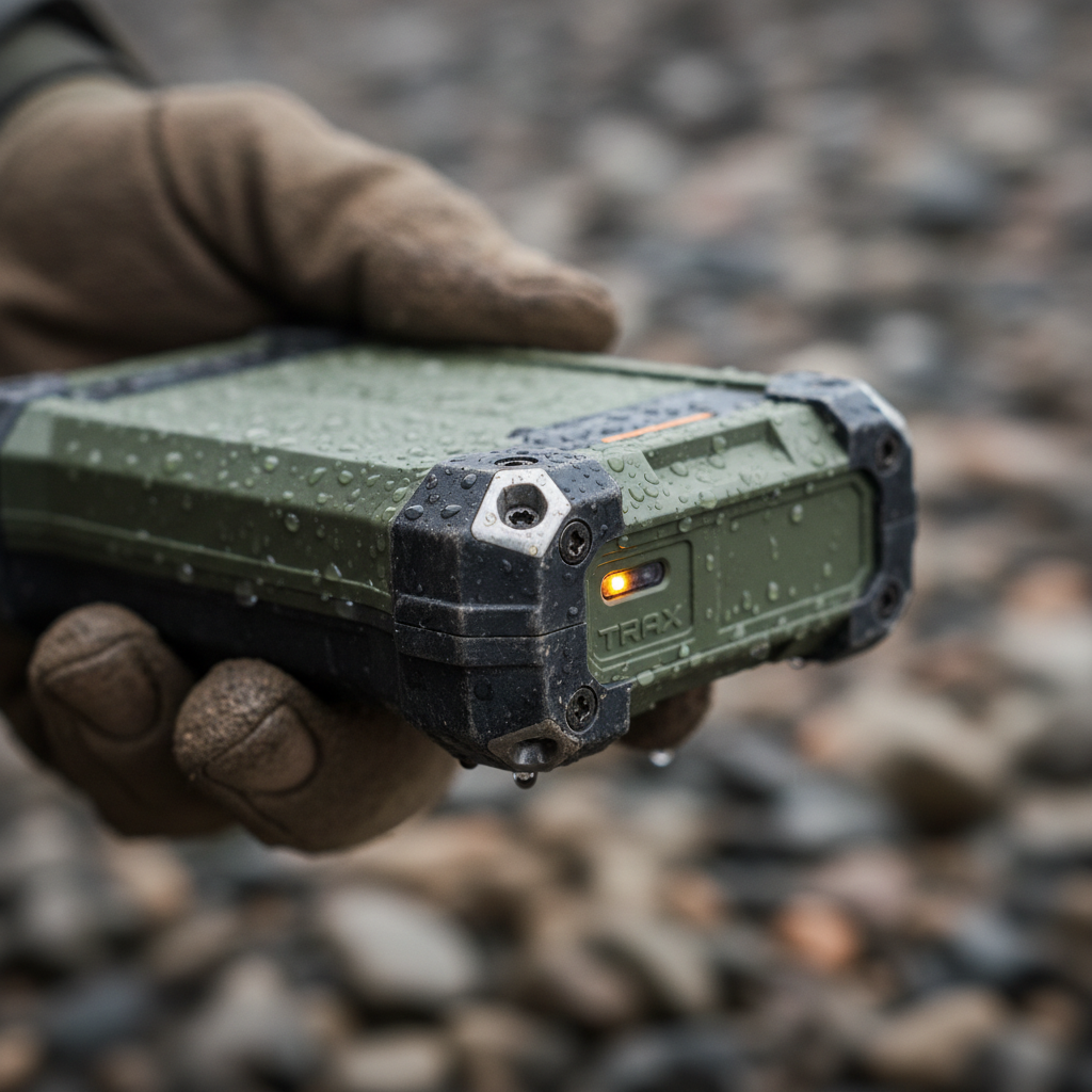
The word “rugged” in asset tracking hardware describes a combination of physical protections: resistance to water, dust, shock, vibration, and extreme temperatures. Two standards dominate the conversation, and they test very different things.
IP ratings follow IEC 60529. The first digit rates solid-particle protection; the second rates water. IP67 means the enclosure is dust-tight and survives temporary immersion up to 1 meter for 30 minutes. IP68 extends the immersion depth, though the exact spec varies by manufacturer. Neither digit says anything about shock, vibration, salt spray, chemical exposure, or thermal cycling.
MIL-STD-810 is a U.S. Department of Defense environmental test framework covering humidity, altitude, thermal shock, vibration, mechanical impact, and more. “MIL-STD-810 tested” is not the same as “MIL-STD-810 certified across all methods.” Ask which specific test procedures were applied and under what parameters. A vendor claiming “military-grade” without naming the test method is selling confidence, not evidence.
For industries with strict certification requirements like aviation, see our overview of certified GPS trackers for aviation assets.
| IP Rating | Dust Protection | Water Protection |
|---|---|---|
| IP65 | Dust-tight | Low-pressure water jets from any angle |
| IP66 | Dust-tight | High-pressure water jets from any angle |
| IP67 | Dust-tight | Immersion up to 1 m for 30 minutes |
| IP68 | Dust-tight | Continuous immersion beyond 1 m (depth varies by manufacturer) |
| IP69K | Dust-tight | High-pressure, high-temperature wash-down |
None of these ratings answer the four questions that actually determine whether a rugged GPS tracker works in the field: Can the antenna reach satellites? Will the battery last at your reporting interval? Does the modem support your carrier’s bands? And does someone act on the alert when it fires?
Four Field Failures No Enclosure Can Prevent
I’ve seen far more trackers fail from operational mismatches than from broken housings. The enclosure protects the circuit board. It does not protect the deployment.
1. Blocked antenna, wrong mounting
A GPS receiver needs signals from at least four satellites to determine latitude, longitude, altitude, and time. Mount a tracker inside a metal container, recessed in a steel frame, or beneath heavy equipment, and the signal gets blocked or reflected before it reaches the antenna.
GPS.gov lists blockage, multipath reflection, atmospheric effects, interference, and jamming as common accuracy degraders. The often-cited 4.9-meter open-sky accuracy benchmark collapses when the tracker sits behind steel cross-members on a flatbed trailer. The fix isn’t a thicker enclosure. It’s proper antenna placement: external antenna ports, non-metallic mounting surfaces, and orientation toward the sky.
2. Battery claims vs. actual duty cycle
Battery life headlines across the market range from 1 to 3 years for frequent-reporting devices all the way to 10+ years for ultra-low-duty designs like the Oyster3, which uses LTE-M/NB-IoT with three user-replaceable AA batteries. Both ends of that range can be honest numbers because they describe fundamentally different architectures, reporting intervals, and motion profiles.
Five variables control real battery life: GPS fix frequency, message transmission interval, motion wake-up sensitivity, ambient temperature, and network signal quality. A device pinging every 15 minutes in summer heat on the Arizona border will drain in a fraction of the time it would last in a temperate warehouse checking in twice a day. If a vendor can only offer a single headline number with no way to model your conditions, that tells you something about the maturity of their engineering.
3. Network obsolescence
Verizon shut down its 3G CDMA network on December 31, 2022. AT&T did the same. Every tracker bound to those networks became electronic waste overnight, regardless of IP rating or remaining battery.
The current baseline for battery-powered asset trackers is LTE-M or NB-IoT. Both were designed for low-power IoT: minimal data throughput, efficient sleep modes, extended coverage. But carrier band support varies by region and country. Before you commit to hardware, verify band certification for your carrier and operating geography. A tracker with a 10-year battery that can’t be re-provisioned when networks evolve is a 10-year liability, not a 10-year asset.
4. No intervention workflow
A tracker generates coordinates, alerts, and status changes. Without a defined workflow (who receives the geofence alert, what’s the escalation when an asset moves at 2 a.m., how the recovery process works), even premium hardware becomes an expensive data logger.
The vendor case studies that show real ROI share one thing in common: the data fed an active response chain. ClearPathGPS reports that Merrell Bros. recovered $180,000 in stolen assets because alerts triggered immediate action. In another documented case, a stolen excavator was recovered because after-hours movement alerts narrowed the response window and a concealed GPS device supplied the location for police. In both cases, the process mattered more than the hardware.
Choosing the Right Connectivity Architecture
Connectivity shapes everything: battery life, coverage footprint, alert latency, and cost per asset. There’s no single best option. There’s the right one for your operating environment.
| Architecture | Best For | Key Limitation | Battery Profile |
|---|---|---|---|
| LTE-M / NB-IoT | Outdoor unpowered assets with cellular coverage | Dead zones in remote or underground locations | Months to 10+ years, depending on duty cycle |
| BLE beacon + gateway | Dense jobsites with many small tools | No independent wide-area backhaul | Up to 5 years (beacon only; gateway needs power) |
| Satellite | Remote, cross-border, or maritime assets | Higher airtime cost, sky-view requirement, larger power draw | Up to 10 years with solar (varies by plan) |
| Hybrid (cellular + satellite) | Mixed fleets crossing coverage boundaries | More complexity, higher integration cost | Varies by design |
LTE-M has become the default for most rugged GPS tracker deployments because it balances power efficiency, coverage, and cost. The protocol was purpose-built for IoT: low data rates, deep penetration, and aggressive sleep modes that extend battery life by orders of magnitude compared to standard LTE. GSMA reported that cellular LPWA IoT connections crossed 1 billion by the end of 2025, and the trajectory keeps steepening.
BLE beacons are a different category entirely. Devices like Trackunit’s Kin are IP66/IP67 rated with up to 5 years of beacon battery life, but they depend on nearby gateways for backhaul. They don’t independently connect to a cellular or satellite network. For a fenced construction site with dozens of hand tools, BLE works well. For a trailer crossing three states, it doesn’t.
Satellite trackers serve assets that routinely operate outside cellular range: mining machinery, offshore equipment, remote generators. Products in this category often pair solar charging with a long-life battery to advertise up to 10 years of service in remote environments. The trade-off is airtime cost, message latency, and an unobstructed sky-view requirement that can be harder to satisfy than it sounds.
A practical rule: match connectivity to the asset’s worst-case location, not the average. If a trailer spends one week per quarter in a cellular dead zone, and that week coincides with peak theft exposure, the coverage gap outweighs the 90% when everything reports fine.
Battery Life: Reading Past the Headline Number
Battery life is the most misunderstood specification in this market. When one product claims 10+ years and another claims 1 to 3 years, both can be accurate because they describe different architectures under different assumptions. The confusion comes from treating the headline as a promise rather than a ceiling under ideal conditions.
Here’s what actually controls the number:
- GPS fix frequency. Each satellite acquisition costs power. A fix every 4 hours vs. every 15 minutes changes life expectancy by an order of magnitude.
- Message transmission interval. The cellular modem’s attach-and-transmit cycle is the biggest single power event. Batching multiple fixes into one transmission saves meaningful energy.
- Motion wake-up. An accelerometer-triggered device that sleeps when stationary outlasts a fixed-schedule device pinging regardless of movement.
- Temperature. Lithium cells lose capacity in extreme cold and degrade faster in sustained heat. A 10-year temperate-climate projection may become 3 to 4 years on a flatbed in the desert Southwest.
- Network quality. Weak cellular signal means longer modem search times and repeated transmission attempts, each drawing more power.
When evaluating products, ask for a battery calculator or projection model that accepts your specific parameters. If the vendor can’t provide one, treat their number as marketing, not engineering. We’ve broken down the real battery math across different GPS asset trackers because the gap between the headline and the field is where most buyer frustration starts.
Total Cost of Ownership: A Three-Year View
The cheapest rugged GPS tracker at purchase is rarely the cheapest after three years. Hardware typically represents 20 to 30% of total deployment cost. The rest is connectivity, platform fees, battery service, mounting labor, and the operational cost of coverage gaps.
| Cost Component | Frequency | What Drives It |
|---|---|---|
| Hardware | One-time (unless replacement needed) | Enclosure quality, antenna design, sensor suite |
| Connectivity / SIM | Monthly or annual | Carrier, data plan, roaming, satellite airtime |
| Platform / software | Monthly or annual | Dashboard, alerts, API access, data retention |
| Battery replacement | Periodic (6 months to never, within device lifespan) | Fix interval, temperature, battery chemistry |
| Mounting / installation | One-time per asset | Magnetic, bolted, or wired; labor and site access |
| Device failure / swap | Variable | Build quality, environmental fit, network sunset |
A $30 consumer-grade tracker with a $20/month subscription costs $750 per device over three years, before a single replacement. A $150 industrial unit on a $5/month connectivity plan with no battery change in that window costs $330. The math tilts further when you add labor: pulling a dead device off a trailer, shipping a replacement, remounting, reconfiguring. Every swap costs time and creates a visibility gap exactly when you can’t afford one.
This also depends on what kind of tracking you’re actually doing. Shipment tracking ends at delivery: the device rides along for days or weeks, and the job is done. Asset tracking follows the full lifecycle: deployment, use, return, dwell, redeployment. When a container or piece of equipment cycles through that loop hundreds of times, the device needs to survive years of exposure without intervention. That’s where spending more per unit saves you on the fleet.

Frequently Asked Questions
What does IP67 actually mean on a GPS tracker?
IP67 means the enclosure is completely dust-tight (first digit: 6) and withstands temporary immersion in water up to 1 meter for 30 minutes (second digit: 7), per IEC 60529. It does not rate shock resistance, chemical exposure, operating temperature range, or GNSS antenna performance. A tracker can pass IP67 and still fail operationally if it can’t acquire satellites or reach a network.
How accurate is a rugged GPS tracker in the field?
Under open sky, GPS-enabled devices are typically accurate within a 4.9-meter radius. In real-world conditions, accuracy depends on satellite geometry, signal blockage, multipath reflections, antenna quality, and mounting position. Steel enclosures, dense foliage, and urban canyons all degrade the fix. Devices combining GNSS with cell-tower positioning can provide a fallback estimate when satellite signals are weak.
How long do batteries really last?
Published figures range from 1 to 3 years for higher-duty devices up to 10+ years for ultra-low-power designs. The actual number is driven by fix frequency, transmission interval, motion, temperature, and network quality. Ask your vendor for a battery projection based on your specific operating conditions, not their best-case headline. If they can’t produce one, that’s your answer.
Can a GPS tracker work without cellular service?
Standard LTE-M/NB-IoT trackers need cellular coverage to transmit. Some support store-and-forward: they log positions locally and upload when coverage returns. For assets that regularly travel beyond cellular reach (remote mining sites, offshore, cross-border routes), satellite-based or hybrid trackers provide global coverage at higher airtime cost and with stricter sky-view requirements.
Is it legal to GPS-track company equipment?
In the U.S., tracking assets you own is generally legal. Complexity arises with employee-driven vehicles, data retention practices, and state-level notification laws. In United States v. Jones, the Supreme Court held that government attachment and use of a GPS device to monitor a vehicle constituted a Fourth Amendment search. The FTC’s 2025 action against GM and OnStar flagged data-sharing risks around precise location. Best practice: disclose tracking to employees, limit data retention, restrict access, and consult counsel for jurisdiction-specific rules.
What’s the difference between a BLE tag and a GPS tracker?
A GPS tracker calculates its own position via satellite signals and transmits over cellular or satellite. A BLE (Bluetooth Low Energy) tag broadcasts a short-range signal picked up by a nearby gateway or phone. BLE tags cost less, last longer, and are smaller, but they have no independent wide-area capability. Use BLE for high-density local environments (jobsites, warehouses). Use GPS trackers for assets that move across regions on their own. For a deeper comparison of different tracking technologies and their use cases, see our guide on GPS vs RFID tracking.
If your operation needs tracking that works beyond the enclosure spec, in environments where mounting, coverage, and battery life matter as much as IP ratings, talk to our team. We match hardware, connectivity, and platform to the actual conditions your assets face. You can also browse our full asset tracking device catalog to see what fits your deployment.








 +1 508 292 2210

3 Responses