

GPS trackers update anywhere from every 2 to 3 seconds to once every 24 hours. OBD-powered vehicle trackers typically publish locations every 3 to 10 seconds. Battery-powered asset trackers report every 10 minutes to once daily, depending on configuration. Satellite communicators default to 10-minute moving intervals. Bluetooth tags like AirTag have no fixed schedule at all, relying on nearby devices to relay their position.
That is a 28,000x spread, and it is not a quality scale. Verizon’s 2026 fleet technology survey found that 80% of fleet professionals now use GPS tracking, up 11 percentage points year over year. Most of them face the same fundamental trade-off: how much freshness do you need, and what will you give up for it?
I deploy tracking across aviation, logistics, and industrial supply chains. The most expensive pattern I keep seeing is not slow updates. It is paying for 3-second visibility on assets that only need a daily check-in, then running out of battery on the one asset that actually needed real-time. The question worth asking is not “how fast?” It is “how old can a position be before it costs me money?”
Four Clocks Between the Satellite and Your Screen
When you open a tracking platform and see a location pin, four independent timing mechanisms produced that result. Spec sheets typically advertise one. Confusing them is the main reason operators believe their tracker is broken when it is working exactly as configured.
| Clock | What it controls | Why it matters independently |
|---|---|---|
| 1. Position fix | When the GNSS receiver calculates coordinates | The device knows its location before telling anyone |
| 2. Local recording | How often fixes are stored in onboard memory | Bouncie records every 1 second, independent of transmission |
| 3. Transmission | When stored records leave the device via cellular or satellite | Teltonika configures acquisition and sending on separate schedules |
| 4. Display refresh | When your app retrieves and renders available data | Refreshing the app cannot force the tracker to acquire or transmit |
Here is why this matters in practice. Bouncie records internally every second but publishes over cellular every 5 seconds while the engine runs. If the vehicle enters a parking garage mid-trip, recording continues. Transmission pauses. The trip history arrives after the device reconnects. Your timeline fills in retroactively, not in real time.
Teltonika’s FMC001 makes the separation even more explicit. You configure position acquisition (by time, distance, heading angle, or speed change) completely independently from the sending period. A truck on a straight highway might generate one position every few minutes, while the same truck maneuvering through a container yard generates positions every 30 seconds. Same device. Same firmware. Very different effective update rates.
The metric that captures this end-to-end delay is called Age of Information: the elapsed time between when a position was physically measured and when you can act on it. If you take one thing from this article, make it this: negotiate with your vendor for acceptable Age of Information, not advertised ping rate.
Documented Update Intervals Across Device Types
These are verified figures from manufacturer documentation, not marketing averages. I have kept “recorded,” “transmitted,” and “available on screen” separate on purpose.
| Device type | Example | Documented update behavior | Power source |
|---|---|---|---|
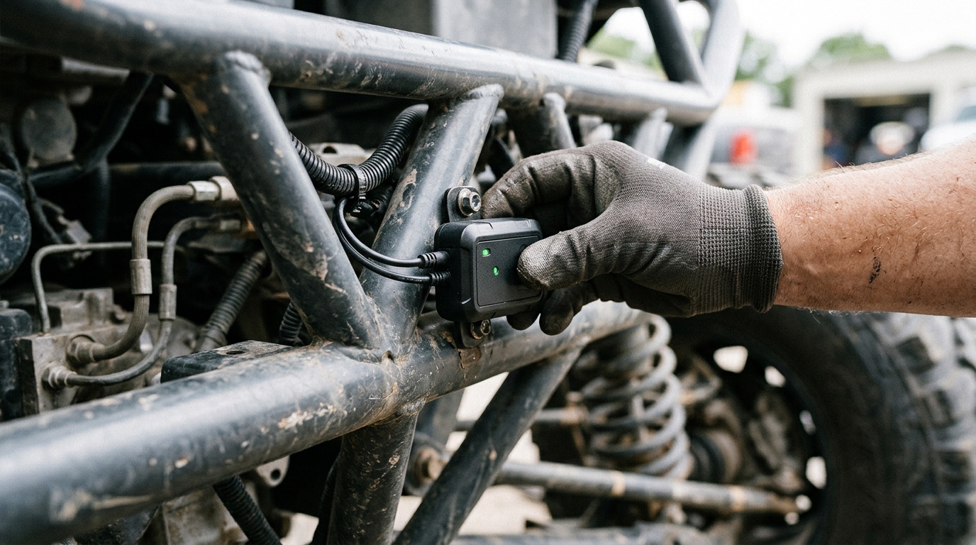
| Vehicle (OBD-II) | LandAirSea SYNC | 3-second location updates | Vehicle power |
| Vehicle (OBD-II) | Bouncie | 5-second publishing, 1-second internal recording | Vehicle power |
| Pet tracker | Tractive | 2-3 seconds (LIVE mode); ~10 min moving default; up to 60 min inactive | Rechargeable battery |
| Asset tracker (battery) | Geotab GO Anywhere | 30-min samples during movement, trip uploaded at midnight; 7-day stationary reports | Internal battery |
| Satellite communicator | Garmin inReach | 10-min default moving interval; up to 4 hours stationary | Rechargeable battery |
| Bluetooth tag | Apple AirTag | No fixed interval; relies on nearby Apple devices detecting the tag | Coin-cell battery |
| Industrial asset tracker | Cellular/GNSS | Configurable: minutes to daily; event-triggered reporting typical | Internal battery (multi-year) |
The pattern is straightforward. Continuous external power enables second-level updates. Battery-powered devices ration every transmission to stretch deployment life from weeks to years. Bluetooth tags surrender scheduling entirely to the environment around them.
One clarification that trips up a lot of buyers: update frequency and position accuracy are independent. GPS-enabled devices are typically accurate to about 4.9 meters under open sky, with worse results near buildings, bridges, and tree cover. A tracker that updates every 3 seconds is not more accurate than one that updates every 10 minutes. It is more current. Those are different problems.
To make “current” tangible: at a constant 60 mph, a 10-minute-old position means the vehicle could be 10 miles away in any direction. At 3 seconds, that gap shrinks to 264 feet. For theft recovery, that difference is everything. For a container sitting in a depot, it is irrelevant.
The Battery Trade-Off No One Can Engineer Away
Every GNSS fix requires powering the receiver. Every transmission requires powering the cellular (or satellite) modem. These are the two heaviest power draws on any battery tracker. More of either means shorter deployment before recharge or replacement.
The LandAirSea 54 spec sheet makes the trade-off concrete:
| Tracking interval | Estimated battery life (driving hours) |
|---|---|
| Every 3 seconds | 24 hours |
| Every 3 minutes | 40 hours |
Same hardware. Same battery. A 60x reduction in reporting frequency yields 67% more operational life. That is not a footnote. It is the central engineering constraint of every battery-powered tracker in the market.
Garmin’s inReach documentation reinforces the point from the satellite side. At 10-minute sending with 1-second local logging, battery lasts up to 75 hours. Switch local logging to 1-minute intervals (same 10-minute send), and battery extends to 100 hours. Even the recording frequency, which never touches the modem, measurably affects battery.
External conditions add another layer. Below 32°F (0°C), lithium battery capacity can drop 20 to 30 percent. An asset tracker rated for 18 months in a warehouse may only last 12 months on a container deck in the North Sea. For harsh environments, rugged GPS trackers are specifically designed to handle extreme temperatures and conditions. If your tracked assets see wide temperature swings, factor that into your interval math before deployment.
For industrial operations where battery-powered asset trackers must survive months or years without maintenance, this trade-off drives every configuration decision. Faster is not better. Sustainable is better.
Event-Based Reporting Beats Constant Pings
Time-based reporting (update every X minutes regardless of what is happening) is the simplest approach. It is also the least efficient. A parked trailer does not generate useful information every 10 minutes. It generates useful information when it starts moving.
Event-based reporting triggers a transmission when something changes: movement detected, geofence crossed, temperature threshold breached, ignition toggled. Between events, the device sleeps. This model can deliver faster awareness of meaningful changes while consuming less power than a fixed schedule at equivalent responsiveness.
Teltonika’s FMC001 supports triggers based on time, distance, heading change, and speed change, all simultaneously. A truck on a straight highway generates sparse points (minimal heading change). The same truck maneuvering through a port generates dense points (constant turns). The reporting adapts to the situation without human intervention.
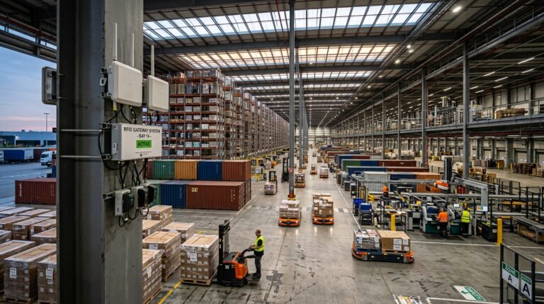
For reusable transport assets like containers, ULDs, pallets, and ground support equipment, event-based reporting is especially valuable. These assets cycle through active movement and long dormancy. A container tracker that reports at departure, arrival, and on unexpected movement in between gives the logistics team what it needs while preserving enough battery for hundreds of cycles. In aviation specifically, GPS tracking improves aircraft maintenance by enabling predictive scheduling based on equipment usage patterns captured through event-based reporting.
This maps to a broader distinction I keep coming back to in our work: shipment tracking versus asset tracking. Shipment tracking ends at delivery. The update frequency is tuned for a single trip. Asset tracking follows the object through its full lifecycle: outbound, dwell, return, maintenance, reuse. The update interval has to serve a deployment measured in months or years, not hours. For airfreight-rated applications, devices like the Thingfox T2 combine DO-160 certification with configurable event-based reporting designed for exactly this kind of multi-cycle deployment.
What Happens When Signal Drops
No cellular coverage, no transmission. This holds whether your tracker updates every 3 seconds or every 3 hours. The difference is what happens to the data during the blackout.
Well-designed trackers use store-and-forward: they continue recording positions locally and upload the backlog once connectivity returns. Bouncie’s support documentation describes this behavior: the device stores driving data onboard and transmits it when cellular service is restored. Your trip history fills in after the fact, but you had zero live visibility during the gap.
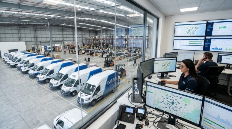
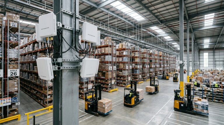
For operations where dead zones are routine (inside steel shipping containers, below-deck on vessels, in underground parking structures), store-and-forward means you get a complete historical record but never real-time position during transit. If you need live visibility in those environments, the device needs satellite connectivity or a relay gateway that bridges the signal from inside the container to an external antenna.
Satellite IoT options are expanding. Deutsche Telekom launched multi-orbit IoT roaming earlier this year, combining terrestrial NB-IoT with satellite NB-NTN connectivity. The promise: fewer places where a tracker can fix its position but cannot deliver it. The reality: satellite IoT still brings different hardware requirements, higher latency, and power constraints that will not match cellular-grade update speeds anytime soon.
One more note on connectivity. If you are running a tracker purchased before 2023, verify it supports 4G LTE or LTE-M. The 2G and 3G network shutdowns across the US and Europe have rendered many older devices permanently offline, regardless of their configured update interval. No network, no updates, no matter what the spec sheet says.
How to Choose the Right Update Interval
Start from the decision, not the device. What is the most time-critical action you need to take based on location data, and how old can the position be before that action becomes useless?
| Use case | Acceptable position age | Recommended approach |
|---|---|---|
| Theft recovery (vehicle) | Seconds to 1 minute | OBD-powered, continuous cellular, 3-10 second updates |
| Fleet dispatch and routing | 1 to 5 minutes | Powered tracker, cellular, minute-level reporting |
| High-value cargo in transit | 5 to 15 minutes | Battery or powered tracker with event-based alerts |
| Reusable containers and ULDs | Hours to daily | Long-life battery, event-based + scheduled check-ins |
| Ground support equipment | Hours to daily | Battery tracker with geofence and motion alerts |
| Remote or offshore assets | Hours | Satellite-capable tracker, 10-min to hourly intervals |
The column that matters most is “acceptable position age.” Everything else follows from it. If your operation tolerates a 6-hour-old position, you unlock multi-year battery life and dramatically lower cost per asset tracked. If you need sub-minute freshness, you accept the constraints of continuous power and cellular dependence.
There is also a privacy dimension worth considering. The FTC finalized an order against GM and OnStar in January 2026 after alleging that some drivers’ locations were collected every 3 seconds without adequate consent. The order imposed a five-year ban on sharing geolocation data with consumer reporting agencies. The lesson: dense location histories create compliance exposure alongside operational value. If you track company assets used by employees, configure the minimum frequency that serves the business need and make your data retention policies explicit.
Finally, frequency is only half the equation. A position that updates every 5 seconds but feeds into a platform nobody monitors is visibility theater. Airlines using Apple’s Share Item Location through SITA’s WorldTracer saw 26% shorter recovery time for delayed bags, according to SITA’s December 2025 analysis. The AirTag itself has no guaranteed update interval. What made it effective was connecting intermittent observations directly to the team that could act. A fast feed without a response workflow is noise. A modest feed connected to the right workflow is operational intelligence.
If your container pool or ground equipment fleet feels invisible between check-ins, that is the gap a well-configured asset tracker closes. At Datanet IoT Solutions, we help logistics and aviation teams match hardware, update intervals, and platform integration to the decisions they actually need to make. Talk to our team or browse our asset tracking catalog to find the right fit.

Frequently Asked Questions
Can I make my GPS tracker update more frequently?
Sometimes. Many devices offer configurable intervals or temporary fast modes. Tractive’s LIVE mode switches to 2-3 second updates on demand. Geotab’s GO Anywhere offers a High Frequency Mode that increases moving updates to every 15 minutes but disables automatically after 72 hours to preserve battery. Refreshing your app does not change the device’s transmission schedule. Check your device settings or subscription plan for faster options.
Why is my GPS tracker showing an old location?
Common causes: no cellular coverage, GPS signal obstruction (buildings, garages, dense canopy), power-saving or sleep mode behavior, and delayed batch uploads. Many devices store positions locally during outages and upload history when connectivity returns. Check the timestamp on the position pin, not just its location. If the device is indoors or underground, signal blockage is the most likely explanation.
Does GPS tracking work without cell service?
GPS reception works independently of cell service. The tracker calculates its position from satellites alone. But delivering that position to your screen requires a communication path: cellular, satellite, or Wi-Fi. Without cell coverage, store-and-forward devices record locally and upload when service returns. Satellite-capable devices like Garmin inReach can transmit independently. No communication path means the data stays on the device until reconnection.
How does update frequency affect battery life?
Dramatically. The LandAirSea 54 lasts an estimated 24 driving hours at 3-second intervals versus 40 hours at 3-minute intervals. Geotab’s GO Anywhere achieves multi-month battery life partly by uploading trip data only once daily. Every position fix and every transmission draws power. For battery-operated trackers, reducing update frequency is the single most effective way to extend deployment life.
What is event-based GPS tracking?
Instead of updating on a fixed time schedule, event-based tracking triggers a report when something happens: movement detected, geofence crossed, speed exceeded, temperature changed. The device sleeps between events. This delivers faster notification of meaningful changes while using less power than time-based reporting at equivalent responsiveness. It is the preferred approach for long-life asset tracking deployments.
Do AirTags update in real time?
No. AirTags broadcast Bluetooth signals detected by nearby Apple devices in the Find My network. There is no fixed update interval. Freshness depends entirely on whether a participating device is close enough to relay the tag’s position. In busy urban areas, updates come frequently. In remote locations, the tag may go hours without a new report. You cannot force an update from the Find My app.




 +1 508 292 2210