

Nurses at a Dutch hospital used to spend up to 30 minutes per shift looking for infusion pumps. Manufacturing techs lose similar blocks hunting calibrated tools across a factory floor. The root cause is the same: GPS signals cannot penetrate roofs and walls, so assets become invisible the moment they cross a building’s threshold.
The market for indoor asset tracking technologies is projected to grow from USD 14.88 billion in 2025 to USD 43.32 billion by 2030, at a 24% CAGR. That growth brings new vendors, new acronyms, and new ways to spend six figures on a pilot that doesn’t match your operation.
This guide compares the five core indoor tracking technologies on accuracy, cost, infrastructure burden, and real fit. Not by vendor spec sheet. By what I’ve seen work (and fail) across warehouses, MRO hangars, and logistics hubs over the past 15 years.
Why GPS Fails Indoors and What Fills the Gap
GPS tracking relies on signals from satellites roughly 20,200 km overhead. Concrete, steel, and even standard drywall absorb and reflect those signals, making GPS unreliable or unusable inside enclosed structures. In multi-story buildings, the problem compounds: vertical position is nearly impossible to resolve with satellite signals alone.
Real-Time Location Systems (RTLS) fill this gap. The architecture is straightforward: small tags attach to assets, fixed anchors or receivers mount throughout the facility, and a positioning engine computes each tag’s location using signal measurements. The output feeds dashboards, geofence alerts, or integrations with your ERP and WMS.
Where things get complicated is the technology behind the signal. Each protocol trades accuracy for cost, battery life for update speed, infrastructure density for coverage. That tradeoff is the decision you actually need to make.
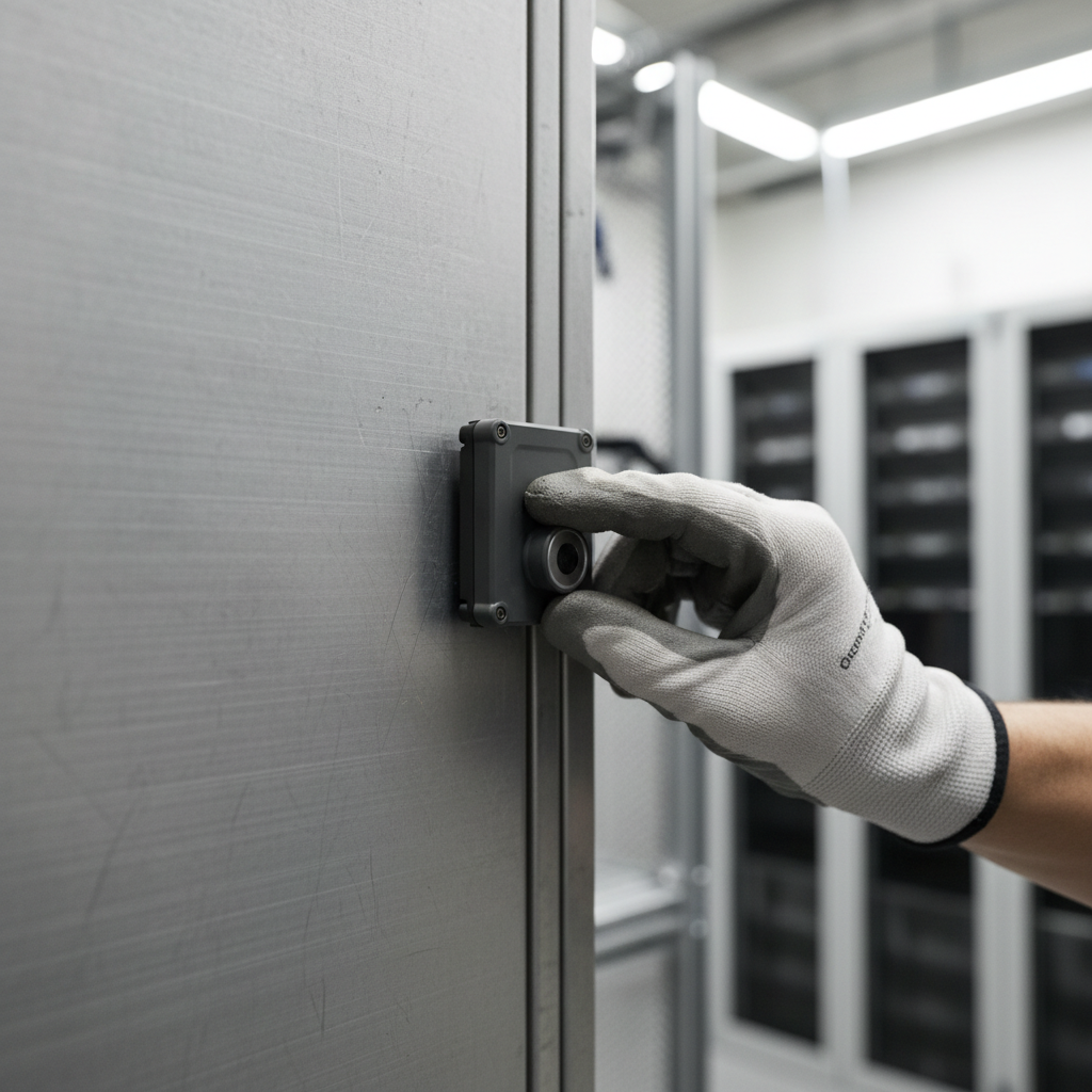
Five Indoor Asset Tracking Technologies Compared
Every vendor will tell you their technology is the best. It isn’t. Each one fits a specific band of accuracy, budget, and infrastructure willingness. The table below strips out the marketing and summarizes what you can actually expect.
| Technology | Accuracy | Indoor Range | Tag Battery Life | Infrastructure Required | Best Fit |
|---|---|---|---|---|---|
| BLE (Bluetooth Low Energy) | 1 to 5 m | 30 to 50 m | 2 to 5 years (coin cell) | BLE gateways or existing BLE-capable APs | Warehouses, hospitals, offices |
| UWB (Ultra-Wideband) | 10 to 30 cm | 10 to 50 m | Months to 2 years | Dedicated UWB anchors (specialized) | Manufacturing, robotics, safety zones |
| Wi-Fi (incl. RTT/FTM) | 5 to 15 m | 20 to 50 m | Shorter (higher power draw) | Existing enterprise Wi-Fi APs | Retail analytics, large campuses |
| RFID (passive) | 0.5 to 2 m (proximity) | 1 to 10 m | None (passive, battery-free) | Fixed readers at chokepoints | Inventory counts, portal detection |
| 5G NR (emerging) | Sub-meter to 30 cm | Cellular coverage | Variable | Indoor small cells (carrier-deployed) | Telco-driven enterprise, smart campuses |
Sources: accuracy ranges drawn from Tektelic’s comparative analysis and academic benchmarks published in PMC/NIH, which measured BLE at 0.10 to 4.92 m, Wi-Fi at 0.09 to 7.60 m, and UWB at 0.03 to 0.30 m in controlled environments.
BLE: The Volume Play
Bluetooth Low Energy holds 22% of the indoor location market by technology share. The reason is economics: tags cost a few dollars, coin-cell batteries last years, and most modern infrastructure already speaks BLE. With BLE 5.1, Angle of Arrival (AoA) antenna arrays can push accuracy from 5 meters down to roughly 0.5 meters in optimal conditions.
For most asset tracking scenarios (locating which room, which zone, which bay), BLE delivers enough resolution at the lowest cost per tag. It’s the default starting point unless your operation has a specific reason to need more.
UWB: The Precision Engine
UWB measures distance by timing radio pulses at picosecond resolution. Time of Flight (ToF) and Time Difference of Arrival (TDoA) across synchronized anchors can resolve position to under 20 cm with 100ms update rates. That precision comes at a cost: dedicated anchors, higher per-tag pricing, and sensitivity to Non-Line-of-Sight (NLoS) obstructions like metal shelving or concrete pillars.
If you’re tracking robotic AGVs, monitoring worker proximity in hazardous zones, or managing tool-crib locations at a sub-meter level, UWB is the right tool. For everything else, it’s likely overkill.
Wi-Fi: Leveraging What’s Already There
Wi-Fi positioning reuses your existing access points, which makes it the cheapest infrastructure play if you already have dense enterprise wireless coverage. Accuracy sits in the 5 to 15 meter range using RSS fingerprinting, or slightly better with Fine Time Measurement (802.11mc). Cisco Spaces is the most visible enterprise platform in this category, deployed in hospitals for room-level equipment tracking.
The tradeoff: tags draw more power (shorter battery life), and 5 to 15 meters of accuracy means you know the floor and the general area, not the shelf or the bay. For retail foot-traffic analytics or campus-level asset visibility, that’s often sufficient.
RFID: The Chokepoint Detector
Passive RFID doesn’t give you continuous location. It tells you an asset passed through a doorway, sat on a shelf near a reader, or entered a zone. No battery, no maintenance, pennies per tag. If your need is “did this pallet leave the warehouse?” rather than “where is this pallet right now?”, RFID still makes sense. Many operations combine RFID at transition points with BLE or UWB for zone-level tracking inside.
5G NR: The Emerging Wild Card
5G New Radio positioning uses multi-cell round-trip-time and carrier-phase ranging to achieve sub-meter accuracy through indoor small cells. Ericsson positions 5G Advanced location services as a monetization channel for telcos entering the indoor positioning space. Commercial deployments are still emerging in 2026, but the technology could introduce mobile operators as indoor tracking providers alongside dedicated RTLS vendors within two to three years.
How to Match Technology to Your Operation
The technology decision should follow the use case. Not the other way around. Here’s the practical mapping I use when working through this with teams:
- Healthcare (equipment, patient flow, staff safety): BLE for zone-level asset location, UWB for high-value or safety-critical tracking. Healthcare is growing at a 26.17% CAGR through 2030, the fastest of any vertical.
- Manufacturing (tools, molds, AGVs, worker proximity): UWB for sub-meter precision in tool cribs and robotic cells. BLE for general equipment across the plant floor.
- Warehousing and logistics (pallets, forklifts, containers): BLE for zone-level tracking. RFID at dock doors and transition points. UWB only where collision avoidance or precise slot-level location matters.
- Retail and large campuses: Wi-Fi for analytics and foot-traffic patterns. BLE beacons for proximity marketing or high-value merchandise.
The hybrid approach is increasingly common, and for good reason. A manufacturing plant might deploy UWB in the tool crib and robotic cells (where 30 cm matters) while covering the rest of the facility with BLE (where knowing the zone is enough). Running both on a single software platform avoids managing two separate systems.
A Real Deployment: UMC Utrecht
University Medical Centre Utrecht in the Netherlands deployed a Wirepas mesh network with Meiko Z08 anchors and FWM8BLZ08T tags, achieving roughly 5-meter (zone-level) accuracy. The system integrates with Columna Flow software so staff can search by device category, check availability, and see sanitation status. The stated motivation: reducing the 10 to 30 minutes per shift nurses spent locating equipment and freeing that capacity for patient care.
Notice the accuracy: 5 meters, not 5 centimeters. For a hospital, knowing which room a wheelchair is in is the answer. They didn’t overspend on UWB precision they didn’t need.
The Costs That Don’t Show Up in the Demo
Every demo I’ve sat through shows the happy path: tags moving smoothly across a clean floor plan, positions updating in real time, geofence alerts firing on cue. The costs that follow are less photogenic.
Anchor recalibration. Factories rearrange layouts. Warehouses reconfigure racking. Every time the physical environment changes, signal propagation changes. BLE fingerprinting systems need to rebuild their signal maps. UWB anchors may need re-surveying. Budget for it as recurring operational cost, not a one-time setup.
Software licensing. Platform fees range from USD 50 to 500 per anchor per year depending on vendor and feature set. Cloud hosting. Data egress. API call limits. These add up faster than the hardware bill in long deployments.
Battery replacement at scale. A BLE tag with a 3-year coin-cell battery sounds great until you’re replacing 5,000 of them in month 37. Factor in the labor to locate each tag, swap the battery or replace the unit, and re-provision it in the system.
Worker perception. Indoor tracking systems that monitor people (not just assets) carry real risk. Barclays, The Daily Telegraph, and Northeastern University all faced pushback when employees or students discovered tracking sensors. Deploying without transparency, consent frameworks, and clear data-retention policies creates organizational friction that no technology can solve.
Integration labor. Connecting the RTLS platform to your ERP, WMS, or MRO system requires API development, data mapping, and testing. Some vendors offer pre-built connectors (SAP, Oracle). Most don’t. Plan for 2 to 6 months of integration work depending on complexity.
Scaling from Pilot to Full Deployment
Most RTLS projects start with a single floor or a single building. Good. The pilot is where you validate that the vendor’s accuracy claims hold on YOUR floor, with YOUR materials, under YOUR RF conditions. Multipath from metal shelving, signal absorption through concrete walls, and electromagnetic noise from industrial equipment all degrade theoretical accuracy. The only way to know your actual accuracy is to test it in place.
Three principles for scaling without regret:
- Demand hardware-agnostic software. If the positioning platform only works with the vendor’s own tags and anchors, you’re locked. When you need to add UWB in one zone and BLE in another, a platform tied to a single radio technology becomes a constraint. Vendors like Navigine explicitly sell hardware-agnostic stacks for this reason.
- Plan for hybrid from day one. Even if you start with BLE only, architect the software layer to accept UWB, Wi-Fi, and RFID inputs. Adding a second technology to a platform designed for one is painful. Adding it to a platform designed for many is a configuration change.
- Solve the indoor-outdoor handoff. This is the gap most pure indoor RTLS vendors ignore. Assets don’t live exclusively inside buildings. Containers move from warehouse to truck. Ground support equipment rolls between hangars and tarmac. Tools travel from the shop to the field. If your indoor system loses the asset the moment it exits the building, you’ve solved half the problem. Cellular GPS trackers (like the Oyster3 or Oyster Edge) handle the outdoor leg. The real challenge is bridging both into a single asset record.
This is where the distinction between indoor positioning and full-lifecycle asset tracking matters. An RTLS tells you where an asset is inside a facility. Asset tracking for equipment follows the asset through its entire cycle: deployment, use, return, dwell, maintenance, reuse. If your container pool or equipment fleet moves across both environments, you need both capabilities stitched together.
Two Technologies That Will Reshape Indoor Tracking by 2028
The indoor tracking landscape is about to shift on two fronts. Both will change the accuracy-per-dollar equation that drives most technology decisions today.
Bluetooth 6.0 Channel Sounding
Bluetooth 6.0’s Channel Sounding feature uses phase-based ranging instead of RSSI to measure distance between two BLE devices. The result is centimeter-level precision over standard BLE hardware, without the cost premium of UWB. This is significant: the BLE-vs-UWB accuracy gap (the central technology choice for the last decade) will narrow substantially through 2026 and 2027 as Channel Sounding rolls out in smartphones, tags, and infrastructure.
If you’re deploying BLE today, this is good news. Your infrastructure investment gets more accurate without a hardware swap. If you were planning a UWB deployment purely for sub-meter accuracy (not for the ultra-low latency UWB also provides), it may be worth timing the rollout against Channel Sounding availability.
5G NR Indoor Positioning
5G New Radio brings sub-meter positioning through existing cellular infrastructure using multi-cell round-trip-time and carrier-phase ranging. Commercial trials are underway in 2025 and 2026, with broader availability expected through the late 2020s. Ericsson’s 5G Advanced location services roadmap underscores the strategic implication: mobile operators could become indoor positioning providers, competing directly with dedicated RTLS vendors. For buyers, this means another option on the table, and further pressure on pricing across the category.
The Bottom Line
Choosing indoor asset tracking technologies is a use-case decision, not a technology decision. Start with the question your operation actually needs answered (which zone? which shelf? which centimeter?), then work backward to the technology that delivers that resolution at a cost structure you can sustain for five years, including battery swaps, recalibration, licensing, and the integration work nobody demos.
If your assets also leave the building (and most do), solve for the full cycle. Indoor precision and outdoor continuity in a single asset record. That’s the gap where most deployments stall.
We help operations teams design tracking architectures that span both environments. If your current system goes blind at the loading dock, let’s talk about closing that gap.

Frequently Asked Questions
What is the most accurate indoor asset tracking technology?
Ultra-Wideband (UWB) delivers the highest accuracy at 10 to 30 cm using Time of Flight and Time Difference of Arrival methods. Academic benchmarks confirm UWB accuracy as low as 3 cm in controlled conditions. However, accuracy degrades in Non-Line-of-Sight environments with metal structures or dense concrete walls. For most operations, BLE’s 1 to 5 meter accuracy is sufficient and far less expensive.
Can I use existing Wi-Fi infrastructure for indoor tracking?
Yes. Wi-Fi positioning leverages existing enterprise access points to provide 5 to 15 meter accuracy using RSS fingerprinting or Fine Time Measurement (802.11mc). This is the lowest infrastructure cost option if you already have dense Wi-Fi coverage. The tradeoff is lower precision: you’ll know the floor and general area, not the specific bay or shelf.
How long do indoor tracking tag batteries last?
BLE tags typically last 2 to 5 years on coin-cell batteries depending on broadcast interval. UWB tags consume more power and last months to 2 years. Wi-Fi tags have the shortest battery life due to higher power draw. At scale, battery replacement becomes a significant operational cost. Factor in labor for locating, swapping, and re-provisioning thousands of tags.
What is the difference between RTLS and indoor asset tracking?
RTLS (Real-Time Location System) is the technology layer that computes an asset’s position inside a facility using tags, anchors, and algorithms. Indoor asset tracking is the broader use case: knowing where assets are, how they move, whether they’re available, and when they need maintenance. RTLS is one component of a tracking system that may also include software dashboards, geofencing, analytics, and ERP integration.
Does indoor tracking raise privacy concerns?
Yes. Systems that track people (not just assets) have triggered documented worker pushback at organizations including Barclays and Northeastern University. In the EU, GDPR applies to any system that can identify or locate individuals. Best practices include transparent communication before deployment, explicit consent mechanisms, data minimization (track assets, not people, when possible), and clear retention and deletion policies.
What happens when assets move from indoors to outdoors?
Most indoor RTLS systems lose visibility when assets leave the building. Cellular GPS trackers handle the outdoor leg but don’t work reliably indoors. The solution is a hybrid architecture: indoor positioning (BLE, UWB) inside the facility, cellular/GNSS tracking outside, and a software layer that stitches both into a single asset record. This indoor-outdoor handoff is the most common gap in deployments that focus exclusively on one environment.








 +1 508 292 2210

4 Responses