

Over 1.64 million vessels carry AIS transponders today. Each one broadcasts identity, heading, and speed on VHF frequencies that coastal stations receive within roughly 15 to 20 nautical miles of shore. Beyond that line, the signal keeps going. Nobody on land hears it.
That gap is where satellite tracking for vessels takes over. Low-Earth-orbit satellites intercept AIS signals from space, extending coverage to every stretch of water on the planet: open ocean, polar passages, and coastlines too remote for ground stations, exactly the kind of terrain where a GPS tracker for remote locations proves its value.
If you manage a fleet, run ocean freight, or carry marine insurance exposure, the quality of your satellite tracking layer determines how much of your operation you can actually see. I’ve spent 15+ years deploying IoT tracking across aviation and maritime. The pattern repeats: operators subscribe to a platform, assume they have visibility, then a vessel drops off the screen in the Indian Ocean. They had data. They didn’t have awareness.
This piece covers the technical stack behind satellite vessel tracking, the state of the market in 2026, the dark vessel problem that platforms alone cannot solve, and the operational gap between knowing a ship’s position and actually managing your assets.
How Satellite Vessel Tracking Works
Maritime tracking runs on a layered stack. No single technology covers everything, and understanding which layer does what separates operators who track vessels from operators who track assets.
AIS: The Base Layer
The Automatic Identification System is the foundation. Under the IMO’s SOLAS convention, AIS transponders are mandatory on all ships over 300 gross tons on international voyages and all passenger ships regardless of size. Transponders auto-broadcast on two dedicated VHF channels (161.975 MHz and 162.025 MHz), transmitting vessel identity (MMSI, IMO number, call sign), GNSS-derived position, course, speed, and navigational status.
The constraint is physics. VHF is line-of-sight. A coastal receiver at typical antenna heights picks up signals from about 15 to 20 nautical miles out. Past the radio horizon, silence.
Satellite AIS: Listening from Orbit
Satellite AIS (S-AIS) places AIS receivers on satellites in low Earth orbit, typically 400 to 800 km altitude. From that height, a single satellite hears AIS broadcasts across thousands of square kilometers of ocean simultaneously.
The major S-AIS constellations operating in 2026 include Spire Global’s LEMUR cubesats (Spire acquired exactEarth in 2021 for $161 million, consolidating one of the largest S-AIS datasets in the market), the Harris-built AIS payloads hosted on Iridium NEXT’s 66 active satellites, and ORBCOMM’s LEO M2M constellation with dedicated AIS receivers. Together, these constellations provide pole-to-pole ocean coverage.
LRIT and VMS: Government-Only Channels
Two systems serve restricted audiences. Long-Range Identification and Tracking (LRIT), established by the IMO in 2006, requires flag states to collect and share vessel positions exclusively with authorized governments. Unlike AIS, LRIT data is never publicly broadcast. It is a security tool, government to government.
Vessel Monitoring Systems (VMS) handle fisheries enforcement. NOAA’s program alone monitors over 4,000 commercial fishing vessels across more than 4 million square miles of U.S. Exclusive Economic Zone. VMS uses encrypted satellite transmissions (typically via Inmarsat or Iridium), giving authorities a verified, tamper-resistant position feed that fishermen themselves cannot manipulate.
SAR: Seeing What AIS Cannot Show
Synthetic Aperture Radar satellites capture high-resolution radar imagery regardless of weather or daylight. SAR detects vessels by their physical radar return (hull, wake, sometimes shadow). No cooperation from the vessel is required.
ICEYE released its Dark Vessel Detection product globally for government organizations in 2024. Capella Space and Umbra offer complementary SAR with tasking-on-demand models, and this capability is now standard in maritime domain awareness programs worldwide.
Here is the stack in practice: AIS tells you what a vessel claims to be. Satellite AIS extends that claim across the full ocean. LRIT and VMS give governments a restricted, verified channel. SAR shows you what is physically on the water, whether anyone broadcasts or not.
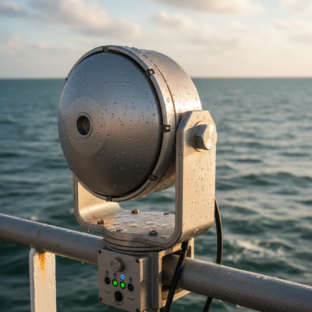
Terrestrial AIS vs. Satellite AIS: The Coverage Divide
The split is not subtle. Terrestrial AIS covers coastlines and port approaches. Satellite AIS covers the planet. Here is how the two compare side by side:
| Feature | Terrestrial AIS | Satellite AIS (S-AIS) |
|---|---|---|
| Coverage area | 15 to 20 nautical miles from shore | Global, including open ocean and poles |
| Data source | Coastal base stations | LEO satellite constellations |
| Update latency | Near real-time (2 to 10 seconds) | Minutes to hours (provider-dependent) |
| Signal collision risk | Low (small reception cells) | Higher in dense shipping lanes |
| Cost to end user | Free public feeds available | Subscription-based, tiered by fleet size |
| Regulatory basis | SOLAS Ch. V, Reg. 19 | Same AIS mandate; satellite is the reception method |
Two reality checks the table doesn’t capture:
Latency varies more than providers advertise. Terrestrial AIS delivers positions in near real-time. Satellite AIS, depending on constellation and subscription tier, ranges from a few minutes to several hours. Free tiers on public platforms commonly carry 12-hour delays. If you’re making operational decisions on cargo rerouting, port slot allocation, or insurance claims, that delay changes the math entirely.
Signal collision degrades satellite performance where it matters most. In busy corridors like the Singapore Strait, English Channel, or Malacca Strait, hundreds of vessels broadcast AIS simultaneously. Terrestrial stations cope because their reception cells are small. A satellite at 600 km altitude hears a massive footprint at once, and overlapping VHF transmissions degrade each other. Constellation operators apply de-collision algorithms, but reception rates in congested zones can drop to 70 to 80%, not the near-100% that marketing materials imply.
The practical takeaway: satellite AIS is the extension layer, not a replacement for terrestrial AIS. And the quality of that extension depends on provider, constellation density, and the specific waters you operate in.
A $322 Million Market and What Drives It
The dedicated satellite vessel tracking market was valued at $168.8 million in 2025 and is projected to reach $322.5 million by 2030, growing at 13.82% annually. The broader satellite-AIS analytics market, which includes the intelligence and data services layered on top of the raw signals, sits at $1.6 billion and is heading toward $2.6 billion by 2030.
Three forces push these numbers.
Regulatory mandates keep expanding. SOLAS already requires AIS on all international-voyage ships over 300 GT. Since 2024, the European Union’s Emissions Trading System extension to shipping demands verified voyage and position data. The IMO’s Carbon Intensity Indicator (CII) rules add yet another position-dependent compliance layer. Each new regulation increases demand for satellite-verified tracking.
Sanctions enforcement has become a primary commercial use case. Western sanctions on Russian oil created funded, urgent demand for satellite monitoring at scale. The IISS reported in January 2025 that Russia’s shadow fleet had grown to over 800 tankers, roughly 15% of the global tanker fleet. Proving sanctions violations requires layered satellite intelligence: AIS gap analysis, SAR imagery, and behavioral analytics working together.
Satellite hardware costs have collapsed. Smallsat constellations built on cubesat platforms cost a fraction of legacy maritime satellite infrastructure. Lower capital requirements at the constellation level translate to lower subscription pricing at the fleet level, which brings mid-size operators and smaller fleets into the market for the first time.
Geographically, Asia-Pacific leads demand, driven by shipbuilding in China, South Korea, and Japan and by the commercial fleets operating from Singapore. North America follows, propelled by U.S. Navy and Coast Guard procurement. Europe shows the highest growth in regulatory-driven applications: sanctions monitoring, emissions MRV (Monitoring, Reporting, Verification), and anti-IUU fishing enforcement.
Dark Vessels and the 800-Tanker Shadow Fleet
This is the part of satellite tracking that platform marketing decks skip.
AIS is a cooperative, self-reporting system. A ship broadcasts what its crew tells it to broadcast. The protocol has no authentication mechanism. That means a vessel can switch off the transponder entirely (going dark), manipulate the position coordinates (spoofing), or transmit a fabricated identity. All three happen at scale.
OCCRP documented oil tankers routinely disabling AIS on runs between Russian and Georgian ports. A peer-reviewed study in Science Advances by Global Fishing Watch, NOAA, and UC Santa Cruz mapped thousands of intentional AIS-disabling events in commercial fishing fleets, with concentrations in the North Pacific, West Africa, and the Mediterranean.
The shadow fleet operates on a different scale. Over 800 tankers form a network designed to move sanctioned crude while masking ownership, origin, and destination. These vessels use frequent flag changes, opaque corporate shells, mid-ocean ship-to-ship transfers, and persistent AIS manipulation.
SAR-based detection is the primary countermeasure. The workflow (sometimes called “tip-and-cue”) runs like this: an AI system detects an AIS gap or behavioral anomaly in satellite data, triggers a SAR satellite tasking, and the resulting radar image confirms whether a dark vessel is physically at that location. No broadcast from the vessel is needed. The radar sees the hull.
For cargo owners and marine insurers, the shadow fleet is not an abstract geopolitical topic. If your cargo transits a sanctioned corridor, or if a vessel in your supply chain carries manipulated identity data, the regulatory and financial exposure is yours. Satellite tracking quantifies and mitigates that exposure, but only when you combine AIS feeds with non-cooperative sensors like SAR and pair them with behavioral analytics.
From a Dot on a Map to Operational Intelligence
Knowing a vessel’s position at a given moment is the starting point. It is not the finish line.
The major tracking platforms (MarineTraffic, VesselFinder, FleetMon) do an excellent job answering “where is my ship right now?” They plot dots on maps, offer historical voyage data, and add port-call ETAs or weather overlays. For many users, that’s sufficient.
The operational question for fleet managers and logistics operators is different. It is: what does this position data tell me about my assets, my costs, and my risk exposure?
This is where the distinction between shipment tracking and asset tracking earns its weight. Shipment tracking ends when cargo reaches its destination. The container arrived at Rotterdam. Done. Asset tracking follows the container through its entire lifecycle: dwell time at the terminal, empty repositioning, the number of days to complete a full use cycle, and whether the asset is being utilized at all.
For ocean logistics, that distinction translates directly to money. If you cannot see your containers after delivery (when they are “idle” at a depot or waiting for pickup), you lose control of cycle time. You compensate by buying or leasing more units to cover the ones you cannot account for. Multiply that across a fleet of thousands of containers and the cost is staggering.
Position data on a vessel tells you where the ship is. Marine equipment tracking tells you where each piece of equipment is, where it has been, and how long it has been sitting unused.
When we deploy ocean-capable tracking devices for clients, the hardware is the straightforward part. The operational design (what triggers an alert, how dwell time feeds into fleet planning, what defines a complete cycle) is where visibility converts to dollars saved.
What to Evaluate Before You Choose a Tracking Layer
Not every operation needs the same satellite tracking setup. A freight forwarder managing high-value intermodal shipments has different requirements than a bulk carrier operator running fixed trans-Pacific routes.
Practical checklist:
- Coverage vs. latency tradeoff. Coastal-heavy routes may function with terrestrial AIS plus satellite fill-in. Trans-oceanic or polar routes need satellite AIS with sub-10-minute refresh, which means a premium subscription tier.
- Transponder class. Class A (required for SOLAS vessels) transmits at higher power and updates more frequently. Class B (common on smaller vessels, yachts, fishing boats) transmits at lower power and is often missed by satellite receivers. If your fleet includes Class B vessels, confirm the provider’s actual detection rate for that hardware.
- Raw data vs. intelligence platform. A raw AIS feed is inexpensive. Turning that feed into actionable outputs (ETA deviation alerts, sanctions zone screening, anomaly detection) requires a software layer on top. Know which one you need before signing a contract.
- Integration with existing asset tracking. If you already track containers, ground support equipment, or intermodal assets with IoT devices, your vessel tracking layer should feed the same operational picture. Separate dashboards for separate asset classes recreate exactly the blind spots that satellite tracking was supposed to eliminate.
- Hardware durability and environment rating. Devices mounted directly on containers or on-deck equipment must survive salt spray, sustained vibration, temperature extremes, and years of battery life. Consumer-grade trackers will not last. Purpose-built industrial and maritime asset tracking devices are the minimum standard for ocean environments.
If your container pool goes invisible after delivery, that is the gap between vessel tracking and asset tracking. Closing it is what we do. Talk to our team or reach us at info@datanetiot.com.
Frequently Asked Questions
What is satellite tracking for vessels?
Satellite tracking for vessels uses AIS receivers mounted on low-Earth-orbit satellites to intercept position broadcasts from ships at sea. Unlike terrestrial AIS stations (which reach only 15 to 20 nautical miles from shore), satellite receivers provide global ocean coverage, including open water, polar routes, and remote coastlines where no ground infrastructure exists.
How does satellite AIS differ from terrestrial AIS?
Both receive the same AIS broadcast from ship transponders. Terrestrial AIS relies on coastal base stations with limited range and delivers near real-time data. Satellite AIS listens from orbit, covering the full ocean surface, but carries higher latency (minutes to hours depending on provider and subscription tier) and faces signal-collision challenges in congested shipping lanes.
How large is the satellite vessel tracking market?
The dedicated satellite vessel tracking market was valued at $168.8 million in 2025 and is projected to reach $322.5 million by 2030, a 13.82% compound annual growth rate. The broader satellite-AIS analytics market, including data services and intelligence platforms, reached $1.6 billion in 2024 and is forecast to hit $2.6 billion by 2030.
Can vessels avoid being tracked by satellite?
Yes. Vessels can disable AIS transponders (going dark), spoof position coordinates, or transmit false identity data. The AIS protocol includes no authentication layer. Synthetic Aperture Radar (SAR) satellites counter this by detecting ships through radar imagery of the physical hull and wake, independent of any cooperative broadcast from the vessel.
What is the shadow fleet?
A network of over 800 aging tankers, as of early 2025, used to transport sanctioned oil while concealing ownership, origin, and destination. These vessels employ AIS manipulation, frequent flag changes, opaque corporate structures, and mid-ocean ship-to-ship transfers. According to the IISS, the shadow fleet constitutes roughly 15% of the global tanker fleet.
What latency should I expect from satellite AIS data?
It depends on provider and subscription tier. Premium commercial feeds deliver updates within a few minutes. Lower-tier or free platforms carry delays of several hours, sometimes up to 12 hours. For operational decisions like rerouting cargo, adjusting port slots, or triggering insurance protocols, sub-10-minute latency is the practical minimum.






 +1 508 292 2210

4 Responses