

The global environmental monitoring market is on track to reach USD 21.14 billion by 2030, growing at a steady 5.6% CAGR. Sensors are cheaper than ever. Cloud platforms multiply. Yet most operations I talk to still can’t answer a basic question: what happened at Site 7 last Tuesday at 3 a.m.?
Remote environmental monitoring should close that gap. Sensors collect. Telemetry moves. Software displays. Someone acts. In practice, the chain breaks more often than it holds. Sensors drift without anyone noticing. Connectivity drops and nobody checks for weeks. Dashboards fill with noise. Alerts fire for conditions that have been normal all month.
I’ve spent over fifteen years deploying IoT systems across aviation, logistics, and industrial operations. The physics of field monitoring don’t change by vertical: a device needs to measure, report reliably, and trigger a useful response. This piece covers what actually works in remote environmental monitoring, where teams consistently burn money, and how to structure a system that delivers decisions instead of data dumps.
What Remote Environmental Monitoring Actually Means
The USGS defines remote sensing as detecting and monitoring physical characteristics by measuring reflected or emitted radiation at a distance, typically from satellites or aircraft. That definition covers one slice. Remote environmental monitoring is broader: any system that observes environmental conditions without requiring a person physically present for every reading.
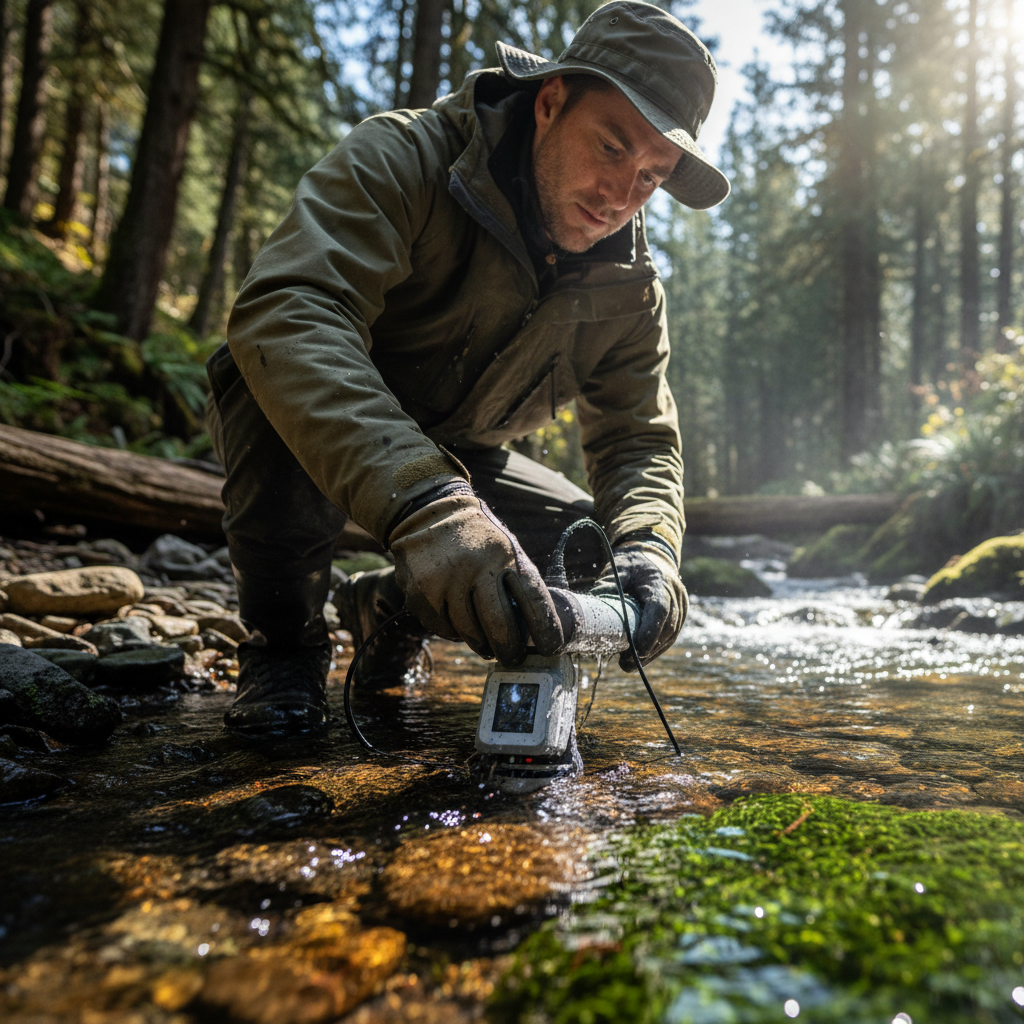
Temperature, humidity, particulate matter, water level, soil moisture, methane concentration, dissolved oxygen, acoustic signals, wildlife movement. If a sensor captures it and telemetry delivers it to a dashboard or alert system, that qualifies. The sensor can be a probe in a river, a solar-powered air quality station on a rooftop, a GPS collar on an elephant, or a satellite imaging methane plumes from orbit. The breadth of environmental monitoring technology options means selecting the right instrumentation for your specific conditions determines accuracy and longevity.
What remote environmental monitoring is not: a one-time measurement campaign. The value of “remote” isn’t just distance. It’s continuity. The USGS Water Data network spans more than 13,500 real-time monitoring locations covering streams, lakes, reservoirs, precipitation, water quality, and groundwater. That network produces actionable decisions (flood warnings, drought forecasts, water allocations) because it never stops observing. A sensor you check once a quarter is equipment, not monitoring.
The Market Is Growing. Most Deployments Still Underperform.
Two market scopes help frame the opportunity. The broad environmental monitoring market (sensors, monitors, sampling, software, services) sits at roughly USD 16.10 billion in 2025, projected to reach USD 21.14 billion by 2030. A narrower cut focused purely on environmental sensors estimates USD 2.77 billion in 2026, growing to USD 4.49 billion by 2031 at over 10% CAGR.
Those numbers disagree because their boundaries differ. The first includes everything from laboratory analyzers to cloud platforms. The second focuses on hardware: gas sensors, particulate monitors, temperature and humidity probes. If a vendor quotes you “market size,” ask which definition they’re using. That question alone will tell you how carefully they understand their own space.
The growth is real, driven by tighter emissions regulations (the EU’s first methane regulation for the energy sector entered force in August 2024), expanding IoT infrastructure (18.5 billion connected IoT devices globally as of 2024), and climate pressure that makes continuous measurement a compliance and reputational requirement.
But growth in spending doesn’t mean growth in effectiveness. The most common failure mode I see across industries is always the same: teams buy sensors, connect them, build a dashboard, and then nobody changes a single operational decision based on what the dashboard shows. The measurement exists. The workflow doesn’t. That’s where money dies.
Architecture: Four Layers Between a Sensor and a Decision
A remote monitoring system is a chain, not a product. It starts with a measurand and ends with a human (or automated) response. Every link matters, and the weakest one determines your ROI. The best remote monitoring solutions treat this chain as a whole rather than selling isolated hardware.
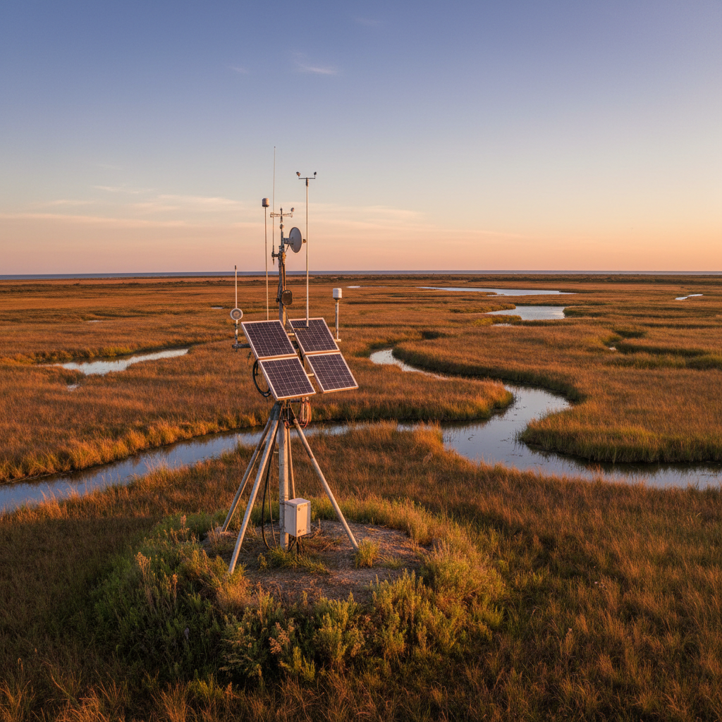
Layer one is sensing. What are you measuring? PM2.5, ozone, water level, soil temperature, methane? The sensor must match the variable, the environment, the measurement range, and the required accuracy. A low-cost particulate sensor designed for indoor air won’t survive a coastal deployment. A lab-grade gas analyzer won’t run on solar. Vaisala’s technical guidance makes a strong case for combining air quality, weather, and connectivity data into a single measurement framework, because environmental variables rarely exist in isolation.
Layer two is edge processing and telemetry. A data logger timestamps readings, rejects impossible values, compresses data, and transmits. This is where connectivity choices (more on that next) and power budgets determine whether your data actually arrives. Edge processing can calculate rolling averages and transmit only when a threshold is crossed, saving battery and airtime. Recent research combining GNSS-IR, edge computing, and long-range IoT for water-level monitoring demonstrates how much intelligence you can push to the device itself.
Layer three is the platform: cloud storage, visualization, analytics, and alerting. Raw readings need calibration curves, quality flags, and metadata (sensor serial number, firmware version, GPS coordinates, elevation, units, detection limits). Without this layer done right, you’re staring at numbers with no context.
Layer four is response. What happens when temperature exceeds 35°C? When methane spikes above 500 ppm? When water level rises 2 meters in 6 hours? If nobody defined the action, the alert is noise. The best deployments wire the alert directly into an operational workflow: a maintenance ticket, an evacuation protocol, a valve closure, a regulatory report.
A precise sensor with no connectivity is useless. A connected sensor with no calibration is dangerous. A calibrated, connected sensor feeding a dashboard nobody checks is expensive decoration. The system works only when every layer does.
Choosing Connectivity: LoRaWAN, Cellular, or Satellite
This comparison is missing from most environmental monitoring guides. Vendors push whatever connectivity they sell. Here’s what the decision actually looks like in the field.
| Connectivity | Best For | Power Draw | Range | Data Throughput | Cost Profile |
|---|---|---|---|---|---|
| LoRaWAN | Dense local networks: farms, campuses, watersheds, facilities | Very low | 2–15 km with gateway | Low (small packets) | Low per-device; gateway investment upfront |
| Cellular (4G/LTE-M/NB-IoT) | Distributed sites with carrier coverage | Moderate | Carrier-dependent | Medium to high | Per-device SIM; monthly airtime |
| Satellite IoT | Remote sites: ocean, desert, forest, rangeland | Higher per transmission | Global | Low (small messages) | Higher hardware and airtime; costs dropping |
LoRaWAN works well when you control the gateway infrastructure. A single gateway can serve dozens of sensors across a facility or agricultural zone. Battery life stretches to years because transmissions are tiny. The tradeoff: you need reasonable proximity to a gateway, and throughput is limited to small data packets.
Cellular (particularly LTE-M and NB-IoT) makes sense where carrier coverage exists and you need more frequent or larger data payloads. Monthly SIM costs per device add up at scale, but setup is fast and there’s no gateway to maintain. For environmental monitoring in urban or suburban areas, cellular is often the simplest path to live data.
Satellite IoT is the high-growth segment. One market estimate puts it at USD 1.5 billion in 2024, growing to USD 7.2 billion by 2033 at 19.5% CAGR. LEO constellations and direct-to-device services are making satellite practical for low-data-rate environmental sensors. If your monitoring sites are genuinely remote (ocean buoys, alpine stations, deep forest, remote pipelines), satellite may be the only viable backhaul. But don’t default to it for sites where a $5/month cellular SIM would work fine.
The smartest deployments I’ve seen are hybrid. Routine readings go over cellular or LoRaWAN. Satellite serves as fallback for connectivity dead zones and critical alerts. This layered approach keeps costs manageable while ensuring you never lose the one reading that matters.
The Calibration Problem Nobody Budgets For
Low-cost sensors have made dense environmental networks possible. PurpleAir alone reports more than 35,000 sensors in over 100 countries providing real-time air quality data. That’s extraordinary spatial coverage at a fraction of what reference stations cost.
Here’s the catch: a low-cost sensor is only as good as its last calibration. A 2025 field study on low-cost particulate sensors found that without rigorous calibration, real-world accuracy was low. With nonlinear calibration models and proper environmental correction, the same sensors achieved an R² of 0.93 at 20-minute resolution. Temperature, wind speed, and proximity to heavy traffic were the most influential calibration factors.
The EPA’s Enhanced Air Sensor Guidebook treats low-cost sensors as useful supplemental tools but recommends performance evaluation and collocation with regulatory monitors. Translation: deploy them widely, but don’t trust uncalibrated readings for decisions that carry real consequences.
What this means for budget planning: if your quote includes only sensor hardware, connectivity, and a platform license, you’re missing the most expensive line item. Calibration means reference instruments for collocation, periodic field visits for sensor swap and drift checks, and data science effort to maintain calibration models as conditions shift seasonally. Ignore it and you’ll spend two years collecting plausible-looking numbers that don’t represent reality. I’ve watched this happen with asset tracking hardware, too. The sensor isn’t the investment. The measurement program is.
Five Applications Where Remote Monitoring Pays for Itself
Remote environmental monitoring works best when a measurement connects directly to a decision with financial or safety consequences. Five domains illustrate the pattern clearly.
Water and Flood Management
The USGS Water Data for the Nation platform holds over 135 years of data from more than one million monitoring locations. The operational value is immediate: real-time water levels trigger flood warnings, inform reservoir operations, and guide drought response. For private operators, remote water monitoring reduces the cost of manual sampling runs and catches contamination events before they reach compliance thresholds. Similar principles apply in controlled environments like aquaculture environmental monitoring, where dissolved oxygen, temperature, and pH measurements directly protect stock health and yield.
Urban and Industrial Air Quality
Dense sensor networks from providers like PurpleAir and Clarity (deployed in over 85 cities) give neighborhood-level visibility that sparse government reference stations can’t match. The ROI shows up in public health alerts, school activity restrictions during wildfire smoke events, and source identification for industrial emissions. The EPA’s WSMART program loans air monitoring technology to state and local agencies specifically for wildfire smoke response.
Methane and Industrial Emissions
This is where regulation is moving fastest. GHGSat reports detecting a UK pipeline leak emitting up to 1,400 kg of methane per hour that went unnoticed until satellite observation found it. In Azerbaijan, satellite monitoring helped SOCAR detect and mitigate emissions across seven upstream assets. The EU methane regulation now requires importers to report. Persistent monitoring isn’t optional anymore; it’s a compliance instrument.
Infrastructure and Critical Facilities
Data centers, telecom towers, substations, warehouses. Any site where temperature, humidity, or water intrusion can destroy expensive equipment. The math is simple: a sensor that catches an HVAC failure before it cooks a $50,000 server rack pays for itself on day one. Remote environmental monitoring here means fewer truck rolls, fewer surprise outages, and fewer emergency calls at 3 a.m.
Conservation and Biodiversity
GPS collars, acoustic sensors, camera traps. Nearly 300 elephants in the Kavango-Zambezi conservation area were tracked using satellite GPS collars, producing roughly four million data points that now coordinate anti-poaching efforts and corridor management across multiple countries. Platforms like EarthRanger and Movebank aggregate this data for protected-area management and academic research.
Edge AI and Predictive Alerts: Separating Signal from Noise
Every monitoring vendor now claims “AI-powered insights.” Let me sort out what’s real from what’s slides.
What’s working today: edge devices running simple anomaly detection locally, reducing transmitted data volume and filtering false alarms before they reach your dashboard. A soil moisture sensor that calculates a rolling average and transmits only when the deviation exceeds a threshold is doing edge computation. Not glamorous. But it cuts airtime costs and extends battery life by months.
What’s emerging: machine learning models that classify satellite imagery for wildfire risk, detect methane plumes from spectral data, or predict sensor drift before it corrupts your dataset. A 2026 research review on AI and remote sensing for wildfire confirms that AI-assisted interpretation speeds triage meaningfully. But every model needs training data, validation, and a human in the loop for high-consequence decisions.
What’s hype: fully autonomous environmental management where AI replaces field teams and domain expertise. Calibration still requires physical reference instruments. Sensor replacement still requires a person. Source attribution for a methane plume still requires ground-level confirmation. AI accelerates analysis and catches patterns humans miss. It does not eliminate the need for people who understand the environment being monitored.
Security and Data Governance: The Section Most Guides Skip
Every sensor on your network is a potential entry point. It has an IP address (or a gateway that does), firmware that can be exploited, and credentials that may still be set to factory defaults. Environmental monitoring deployments often sit in the field for years, which means years of unpatched firmware if you haven’t planned for updates.
NIST’s Cybersecurity for IoT Program provides standards and guidance for building trust in connected devices. NIST SP 800-213 goes further with specific acquisition-oriented recommendations. The practical minimum for any environmental monitoring deployment: unique credentials per device, encrypted transport, signed firmware updates, network segmentation, least-privilege access, vulnerability disclosure processes, and an offline data buffer for connectivity outages.
Data governance adds another dimension. Environmental data can reveal operational patterns, facility locations, wildlife habitats, and compliance status. Research published in PNAS Nexus notes that Earth-observation data can measure illegal activities and raises questions about who accesses sensitive environmental information. If you’re monitoring emissions at an industrial site or tracking endangered species, access controls and data retention policies protect both your operations and the environments you’re measuring.
How to Evaluate a System Without Getting Locked In
After deploying monitoring systems across industries for over a decade, I’ve distilled the evaluation down to ten questions that separate serious solutions from brochure promises:
- What is the stated measurement uncertainty, and how was it validated in field conditions?
- What calibration protocol is required, and at what interval?
- What connectivity options does the hardware support, and what’s the fallback when the primary link drops?
- What is the realistic battery life under your specific reporting interval and environmental conditions?
- Does the platform support open APIs (like OGC SensorThings) or are you locked into a proprietary ecosystem?
- Who owns the data? Can you export it in standard formats at any time?
- What is the total cost over five years, including hardware, connectivity, calibration, replacement, and platform fees?
- How are firmware updates delivered, and what security practices are in place?
- What alert workflows are supported? Can they integrate with your existing operational systems?
- What happens when a sensor fails silently? Does the system detect data gaps?
That last question is the one vendors hate. A sensor that stops reporting but doesn’t flag its own absence is worse than no sensor at all, because you think you’re covered when you’re not.
If your environmental conditions go invisible the moment hardware ships to the field, that’s the gap worth closing. At Datanet, we build environmental tracking solutions around proven hardware and end-to-end integration, specifically for distributed industrial operations where reliable data is the entire point. If that sounds like your problem, let’s talk.
Frequently Asked Questions
What is remote environmental monitoring?
The continuous or periodic observation of environmental conditions (air, water, soil, weather, emissions, biodiversity) from a distance, using sensors, telemetry, and software. Unlike manual sampling, the system reports automatically without requiring a person on-site for every reading.
What is the difference between remote sensing and remote monitoring?
Remote sensing specifically detects physical characteristics from reflected or emitted radiation, usually via satellites or aircraft. Remote monitoring is broader and includes any unattended sensor system: a satellite, a river gauge, a soil probe, or a temperature logger in a warehouse. Remote sensing is a subset of remote monitoring.
Are low-cost environmental sensors accurate enough for compliance?
They’re useful for screening, mapping, and supplemental monitoring. But accuracy depends on calibration, environment, and sensor age. The EPA recommends collocation with regulatory reference monitors. Without rigorous calibration, real-world accuracy is often poor. With proper correction models, studies show correlation above R² 0.9.
Which connectivity works best for remote environmental sensors?
It depends on location, power availability, and data volume. LoRaWAN suits dense local deployments with low power budgets. Cellular works where carrier coverage exists and simplicity matters. Satellite IoT serves genuinely remote sites. Most effective deployments combine two or more in a hybrid approach.
How much does a remote environmental monitoring system cost?
Hardware ranges from under $100 per node for basic parameters to several thousand for reference-grade analyzers. Add connectivity fees, platform licensing, calibration, field maintenance, and sensor replacement. The total five-year cost typically runs three to five times the initial hardware price.
How do I avoid vendor lock-in with environmental IoT?
Require open data formats, API access (OGC SensorThings is a good benchmark), and data export rights in your contract. Test interoperability before committing to scale. A system that traps your historical data behind a proprietary wall costs you leverage and flexibility for years.








 +1 508 292 2210

3 Responses