

A Nature study combining satellite imagery with 53 billion AIS positions estimated that 72 to 76% of industrial fishing vessel activity operates outside public tracking systems. The map you see on your screen is useful. It is not complete.
If you need to track a boat at sea, the first thing worth knowing is that no single tool covers every situation. A family checking on a cruise ship, a sailor wanting offshore breadcrumbs for a transatlantic passage, a fleet operator needing container ETAs, and a rescue coordinator locating a distress call all rely on different signals, different hardware, and different networks. The real question is not “which app?” It’s “which combination fits this boat, this ocean, and this purpose?”
Five methods exist. Each has honest limits. Here’s how they work, where they break, and how to layer them for actual coverage.
Before You Pick a Tool, Define the Problem
People type “how to track a boat at sea” for at least four distinct reasons:
- Public lookup. “Where is this vessel right now?” You have a ship name, MMSI, or IMO number and want a dot on a map.
- Own-boat monitoring. “I want my family to follow my passage from New York to the Azores.” You need a device on your boat that reports positions to a shared portal.
- Emergency location. “If the hull is breached at 3 a.m., can rescuers find me?” You need a distress beacon, not a tracking app.
- Fleet and cargo visibility. “Where are my containers after discharge? How long are they dwelling in port?” You need an asset-tracking system, not a vessel dot that disappears when the ship leaves berth.
Each intent leads to a different technology. A free AIS portal won’t show a 30-foot sailboat that has no transponder. An EPIRB won’t give your family a live breadcrumb trail. A Starlink terminal won’t replace a rescue beacon. Conflating them is where most people get stuck.
AIS Lookup: The Free Public Layer
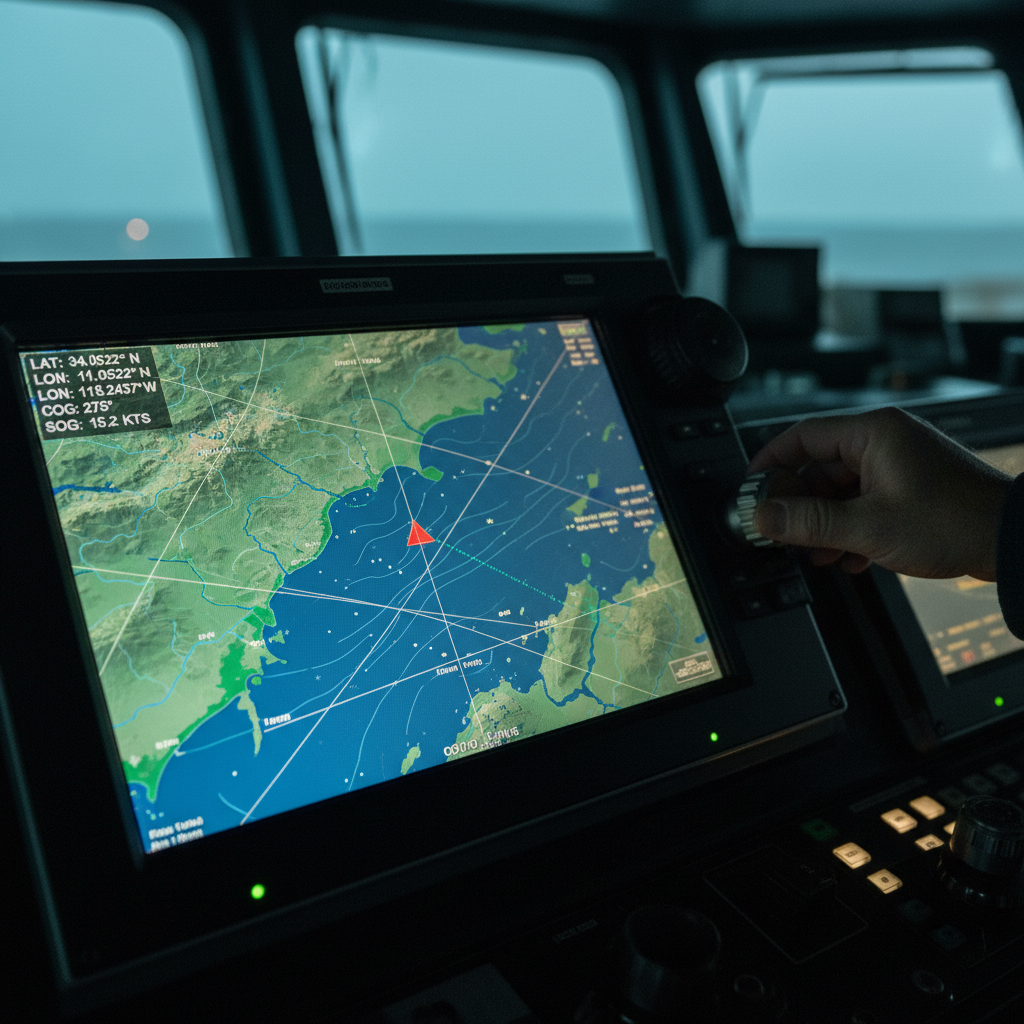
The Automatic Identification System is the starting point for most vessel lookups. The U.S. Coast Guard describes AIS as a shipboard broadcast system operating in the maritime VHF band, functioning like a transponder. An equipped vessel continuously broadcasts its MMSI, IMO number, call sign, position, course, speed, heading, and navigation status.
Two hardware classes matter. Class A units report every 2 to 10 seconds while underway and every 3 minutes at anchor. Class B units report less frequently and at lower priority. This data feeds public portals (MarineTraffic, VesselFinder, and others), giving anyone with a browser a near-real-time ocean map at no cost.
Who must carry AIS? The IMO mandates it on all passenger ships, international cargo vessels of 300 gross tonnage or more, and non-international cargo vessels of 500 GT or more. In the U.S., the Coast Guard extends requirements to commercial vessels 65 feet or longer, certain towing vessels, passenger vessels carrying more than 150 people, dredges near commercial channels, and some dangerous-cargo operations.
Notice what’s absent: most recreational boats. If you’re trying to follow a 35-foot pleasure craft using a public AIS portal, the answer is likely “you can’t.” It’s not transmitting.
The range ceiling
A typical MarineTraffic terrestrial station with an antenna 15 meters above sea level receives AIS within 15 to 20 nautical miles. Elevated coastal sites can stretch reception to 40 or 60 nautical miles under good conditions. Beyond that, the shore receiver simply can’t hear the VHF signal. This is physics, not a system failure.
For public vessel lookups near ports and coastlines, AIS portals are fast, free, and reliable. For anything offshore or non-commercial, you’ll need more.
Satellite AIS: Paid Coverage Beyond the Coast
MarineTraffic describes satellite AIS as the supplementary layer used when a vessel is outside terrestrial range. Satellites in orbit pick up the same VHF broadcast that shore stations receive, extending coverage to open ocean. Most portals offer this as a paid tier.
The limitation is structural. Satellite AIS extends the receiving side. If the vessel isn’t transmitting (no equipment, transponder off, or deliberately dark), a satellite receiver has nothing to hear. And satellite AIS data typically refreshes less frequently than a coastal station because of orbital pass timing and processing lag.
For large commercial vessels that are equipped and transmitting, satellite AIS fills the mid-ocean gap well. For a small boat without AIS hardware, it changes nothing.
Why Boats Disappear From the Map
This question causes real anxiety, especially for families following a cruise or cargo vessel online. Before you assume the worst, here are the actual reasons, roughly ordered from most to least common:
- Out of terrestrial range. The vessel sailed past the horizon of the nearest receiving station. Normal on any ocean passage.
- No AIS equipment installed. Most recreational boats, many fishing vessels, and smaller commercial craft don’t carry AIS. They were never on the map to begin with.
- Class B signal deprioritized. In congested waters, Class A messages take precedence. A Class B transponder can appear intermittent.
- Equipment malfunction or power loss. A transponder that loses power stops broadcasting. No signal, no dot.
- Deliberate manipulation. Rarer for ordinary vessels, but documented in specific contexts. Kpler’s 2025 analysis of nearly 1,000 sanctioned vessels found AIS spoofing was a core tactic, with 80.1% of vessels caught spoofing eventually sanctioned within a year. That statistic applies to a selected high-risk population, not to all boats at sea.
The takeaway: a missing dot usually means “out of range” or “not equipped.” Rarely does it mean something sinister. But the gap is real regardless of the cause. If you need reliable position data on a specific boat, passive AIS observation may not be enough.
Private Satellite Trackers: Your Boat, Your Data
This is where tracking shifts from observing someone else’s broadcast to controlling your own signal. A private satellite tracker obtains GNSS coordinates and sends them over a satellite network (typically Iridium or Globalstar) to a cloud portal. You share the link with family, crew, or a monitoring team.
The model differs from AIS in every way that matters. You own the device and the data. It works whether or not the boat carries AIS. It reports at intervals you choose. And it requires a subscription plus battery or power management.
Consumer satellite trackers typically offer reporting intervals ranging from 2.5 to 60 minutes, publishing GPS coordinates to an online map. YB Tracking uses the Iridium satellite network and supplies devices, airtime, event rentals, and end-to-end service for offshore racing, fleet monitoring, and professional use cases.
The trade-offs are straightforward. A 2.5-minute interval eats battery faster than a 60-minute one. Satellite tracker subscriptions are typically interval-based, with more frequent reporting costing more per month. But the monthly subscription number excludes hardware, activation, replacement batteries, and taxes. Always calculate total ownership cost, not just the subscription line.
For a boat owner asking “how do I let my family track me across the Atlantic?”, a private satellite tracker is the direct answer. Pick the interval that balances battery life, reporting granularity, and budget. Mount the device with clear sky exposure. Test it before the passage, not during.
EPIRBs and PLBs: Rescue, Not Routine Tracking
A tracking device tells someone where you are. A distress beacon tells rescue authorities you need help. These are not the same thing, and confusing them can cost lives.
NOAA explains that 406 MHz beacons transmit distress signals immediately upon activation through the COSPAS-SARSAT satellite system. EPIRBs (Emergency Position-Indicating Radio Beacons) are vessel-mounted: Category I releases automatically when submerged, Category II requires manual activation. PLBs (Personal Locator Beacons) are person-carried and manually activated. Some encode GNSS coordinates for position accuracy down to roughly 100 meters.
The critical word is “activation.” These beacons transmit when triggered, not continuously. They create an emergency alert, not a breadcrumb trail. You will not use an EPIRB to let your spouse watch your position on a lazy Saturday sail.
The results justify the device. NOAA credited the COSPAS-SARSAT system with 411 U.S. rescues in 2024, including 318 from the water. In the same year, the Coast Guard recorded 3,887 recreational boating incidents, 556 deaths, and roughly $88 million in property damage. A fatality rate of 4.8 per 100,000 registered recreational vessels.
Carry one. Register it (free, required). Test it per manufacturer instructions. And understand that it solves a fundamentally different problem than a satellite tracker. You need both.
Satellite Broadband: Connectivity, Not a Beacon
Starlink Maritime offers ocean and international-water coverage, a Global Priority tier, and a portal for remotely monitoring and managing a fleet. At the regulatory safety end, Iridium launched Certus GMDSS in December 2024, combining distress alerting, Safety Voice, maritime safety information, LRIT, and SSAS through one antenna.
In practice, these networks coexist. K Line’s 2025 deployment uses Starlink primarily for crew welfare and business traffic, while Iridium serves as backup during bad weather, emergencies, and restricted waters. Two networks, two failure modes, deliberate redundancy.
For most recreational boaters, satellite broadband is more than they need. For commercial fleets, it’s becoming standard. The point to remember: a broadband terminal is not an EPIRB. It’s not inherently an AIS transponder. It is a data pipe. What you push through that pipe (tracking software, fleet dashboards, crew messaging) is a separate architecture decision.
Picking the Right Combination
No single method wins every scenario. The practical answer is almost always a layered approach, chosen by which failure mode you need to survive.
| Your situation | Primary method | Add this | Always carry |
|---|---|---|---|
| Looking up a large commercial vessel | Free AIS portal (vessel name or MMSI) | Satellite AIS tier if the vessel is mid-ocean | N/A (you’re an observer) |
| Family tracking a cruise ship | AIS portal lookup | Cruise line’s own app if available | N/A |
| Offshore passage, own sailboat | Private satellite tracker (SPOT, YB, etc.) | AIS transponder for collision avoidance | Registered EPIRB or PLB |
| Coastal fishing charter | Cellular GPS tracker or phone-based sharing | VHF radio | PLB |
| Fleet of containers or marine equipment | Industrial IoT asset tracker with satellite or cellular uplink | Integration with logistics or ERP platform | Vessel-level safety equipment (separate) |
That last row deserves a closer look. A vessel AIS dot tells you where the ship is. It does not tell you where a specific container went after discharge, how many days it sat idle in a port yard, or whether it’s cycling back efficiently. This is the gap between vessel tracking and asset tracking. Vessel tracking ends at the berth. Asset tracking follows the equipment through discharge, dwell, repositioning, and reuse.
If your operation involves reusable containers, ground support equipment, ULDs, or any asset that moves between vessels, yards, and inland networks, the tracking architecture changes. You need a device on the asset, not just on the ship. You need a portal that shows cycle time and utilization, not just an ocean dot. Understanding how to track my fleet across multiple modes and touchpoints becomes essential. And you need a solution provider who understands the full return loop.
That’s the work we do at Datanet. Our ocean equipment tracking devices are built for assets that keep moving after the vessel docks. If your container pool goes dark the moment it leaves the ship, that’s a conversation worth having.
Frequently Asked Questions
Can I track any boat just by knowing its name?
Only if the boat carries AIS and is transmitting within range of a terrestrial or satellite receiver. IMO carriage rules cover large commercial and passenger vessels, but most recreational boats lack AIS. Use the vessel’s MMSI or IMO number for the most reliable search. A missing result means “not observed,” not “not at sea.”
Why did a ship suddenly disappear from MarineTraffic?
In most cases, the vessel moved beyond the 15 to 20 nautical mile range of the nearest shore-based AIS receiver. Other causes include no AIS equipment, transponder malfunction, Class B deprioritization in congested waters, or (rarely) deliberate signal manipulation. Upgrading to a satellite AIS tier can restore visibility if the vessel is still transmitting.
What is the cheapest way to track my own boat offshore?
A dedicated satellite tracker is among the most affordable options, with typical reporting intervals from 2.5 to 60 minutes depending on the device and plan. Calculate total cost: hardware, activation, monthly subscription, and battery replacement. This does not replace carrying a registered EPIRB or PLB for emergencies.
Is an EPIRB the same as a GPS tracker?
No. A 406 MHz EPIRB transmits a distress alert upon activation through COSPAS-SARSAT. It does not provide continuous position updates or a shareable map link. It is a rescue device. For ongoing position sharing, you need a separate satellite tracker. Carry both.
Does Starlink count as boat tracking?
Starlink Maritime provides satellite broadband, not a dedicated tracking or rescue function. It can carry tracking software over its data connection, but it is not an AIS transponder or an EPIRB by design. Think of it as infrastructure: the pipe, not the signal.
How do authorities detect vessels that turn off AIS?
Through independent observation layers. ICEYE and Spire combine synthetic-aperture radar with satellite AIS to identify non-reporting vessels for fisheries enforcement, sanctions monitoring, and maritime security. Research teams have also used optical satellite imagery and deep learning to detect vessel activity regardless of AIS status.








 +1 508 292 2210

6 Responses